As a follow-up to my two previous posts about dams in Alabama, here is a post about dams on another southeastern river, the Chattahoochee.
The Chattahoochee River starts in the Appalachian Mountains of northern Georgia and flows southward along the border of Georgia and Alabama to Florida. There are several dams along the river between Georgia and Alabama. Since the stateline runs along the west side of the river, these dams are technically not in Alabama, which is why I didn’t include them in my gallery of Alabama dams.
My exploration of the Chattahoochee River was not comprehensive, but here are the dams I was able to see, from north to south.
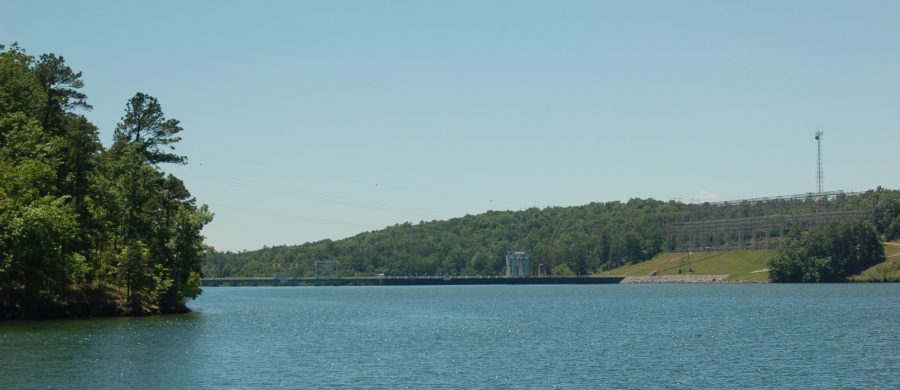
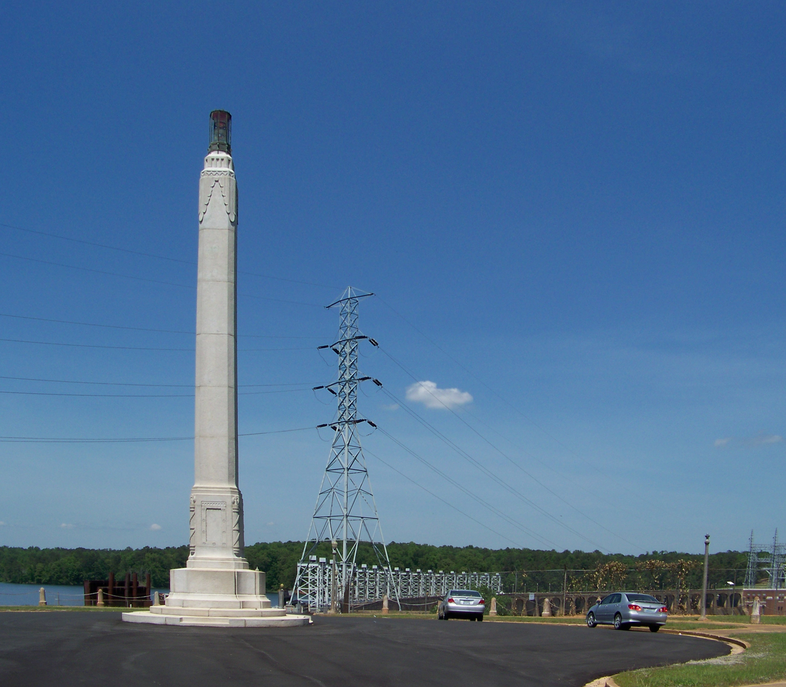
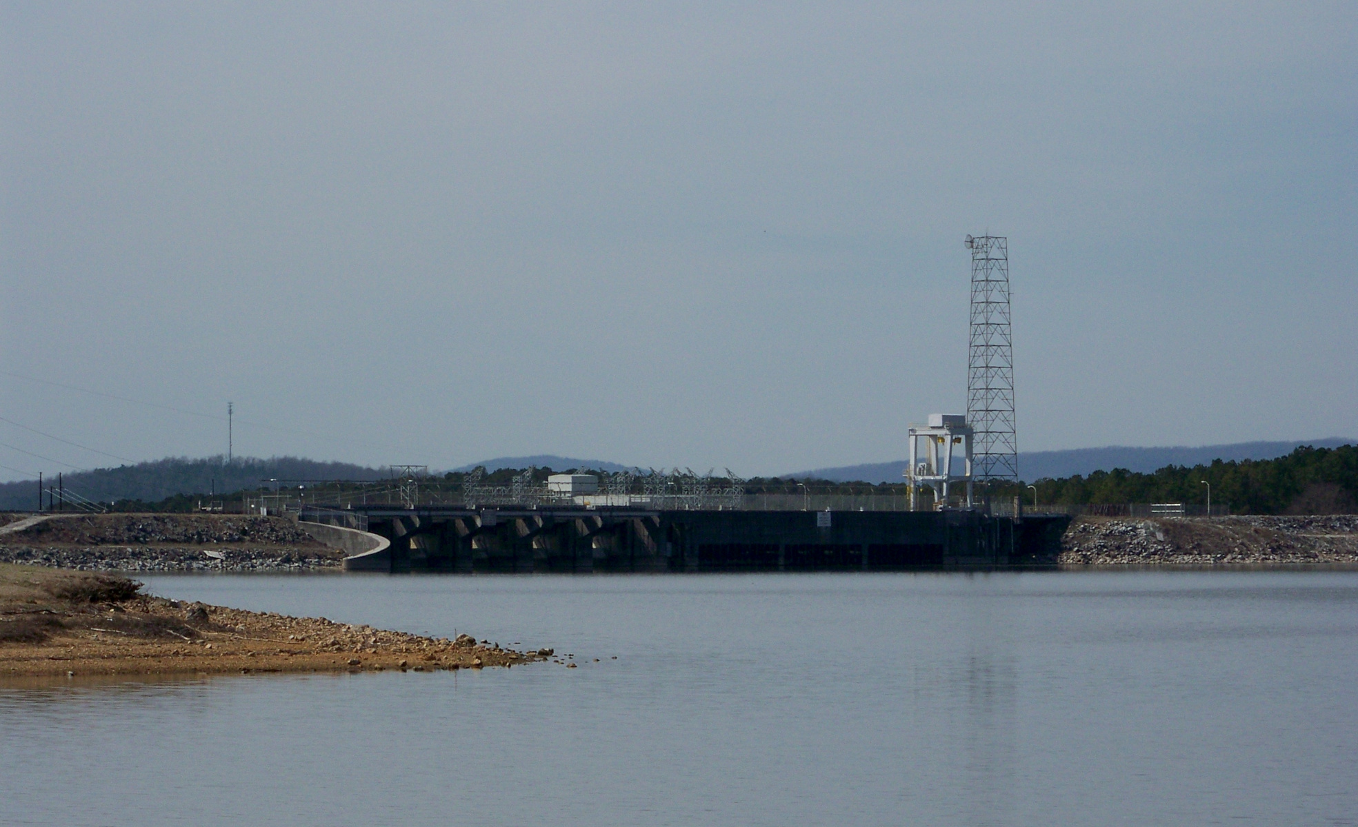
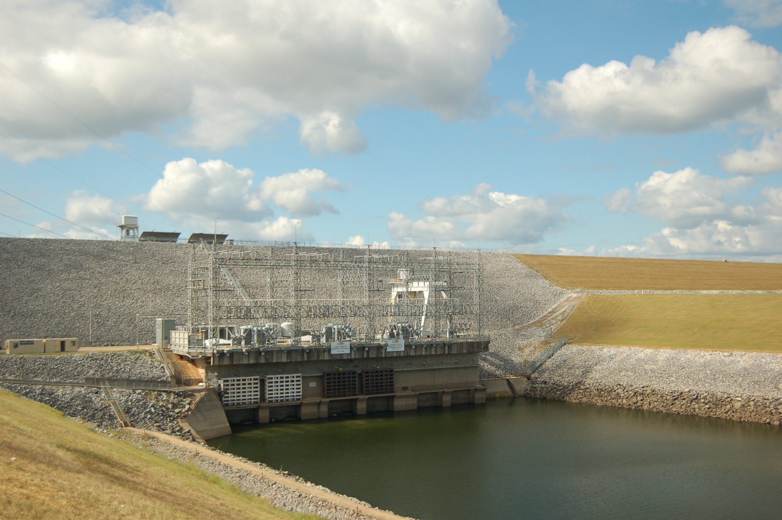
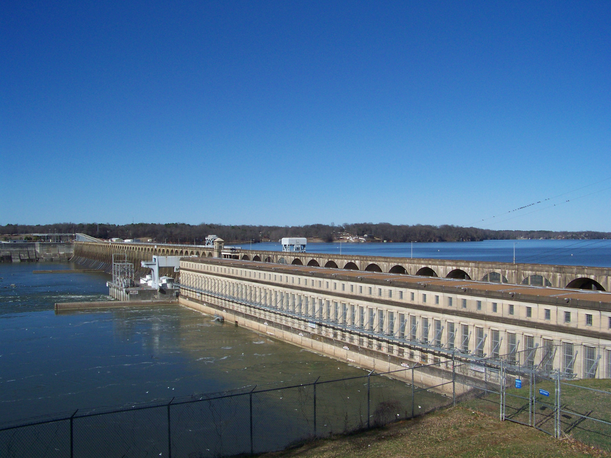
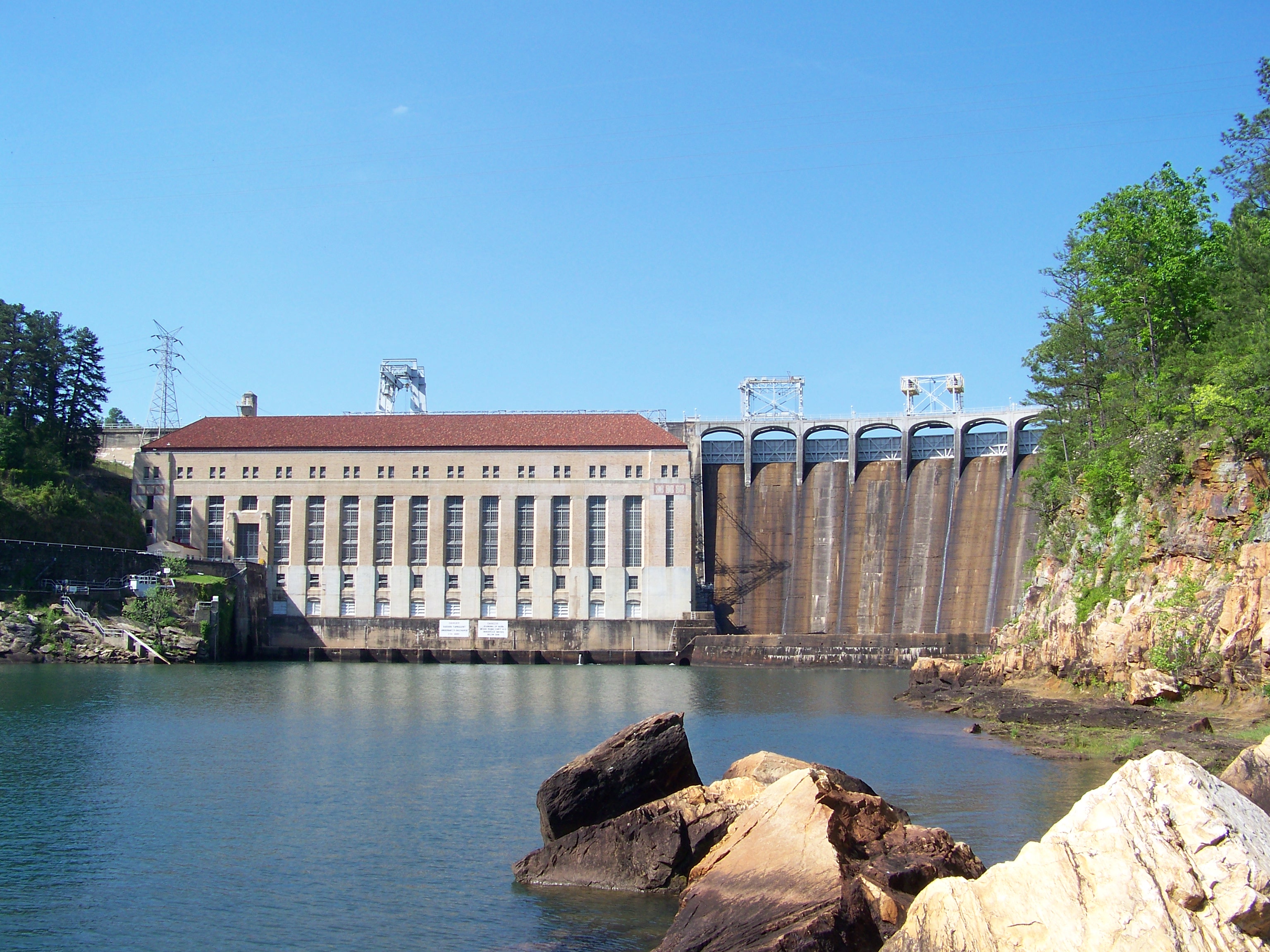
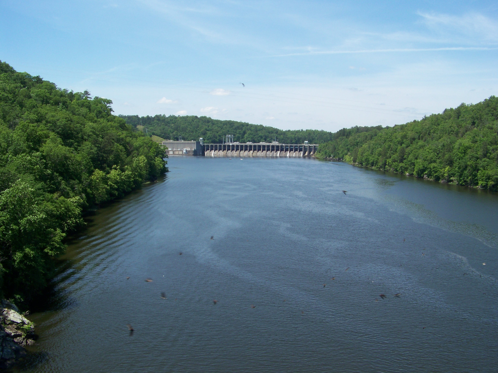
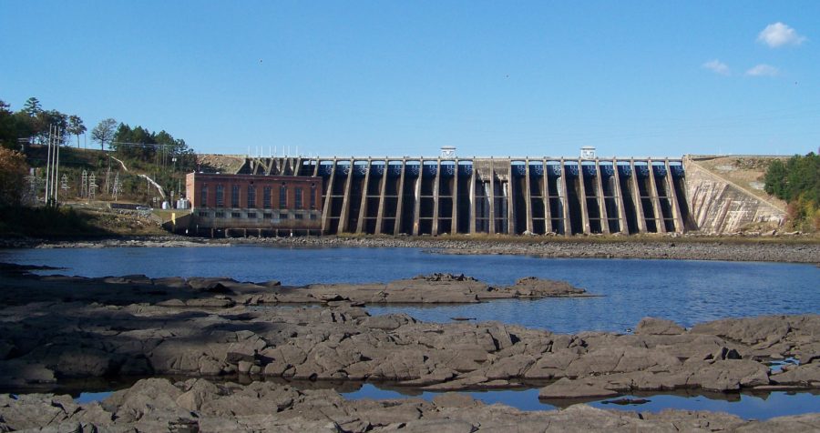
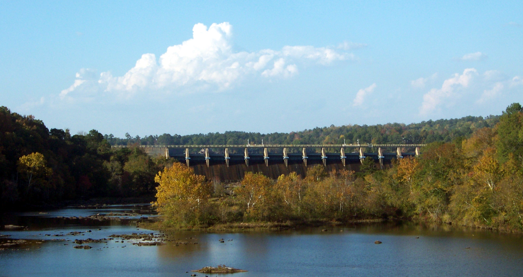
Just north of I-85, the highway between Montgomery and Atlanta, West Point Dam forms a big reservoir on the Chattahoochee. The dam is a US Army Corps of Engineers project. Its construction was authorized in 1962; the lake began filling in 1974 and the power station came online the following year.
As a postwar earthen dam, West Point Dam is not much to look at, but it is more accessible than the Alabama Power dams because it is public property. There is a visitor center on the site, and visitors can take a look at the turbine hall from a viewing gallery. The entire dam is remotely operated from Walter F. George Dam, ninety miles downstream.
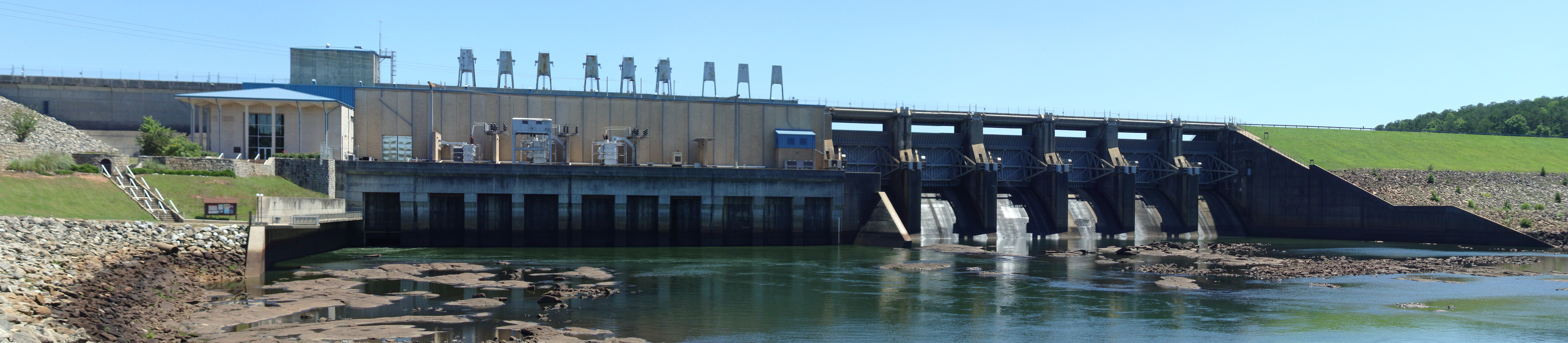
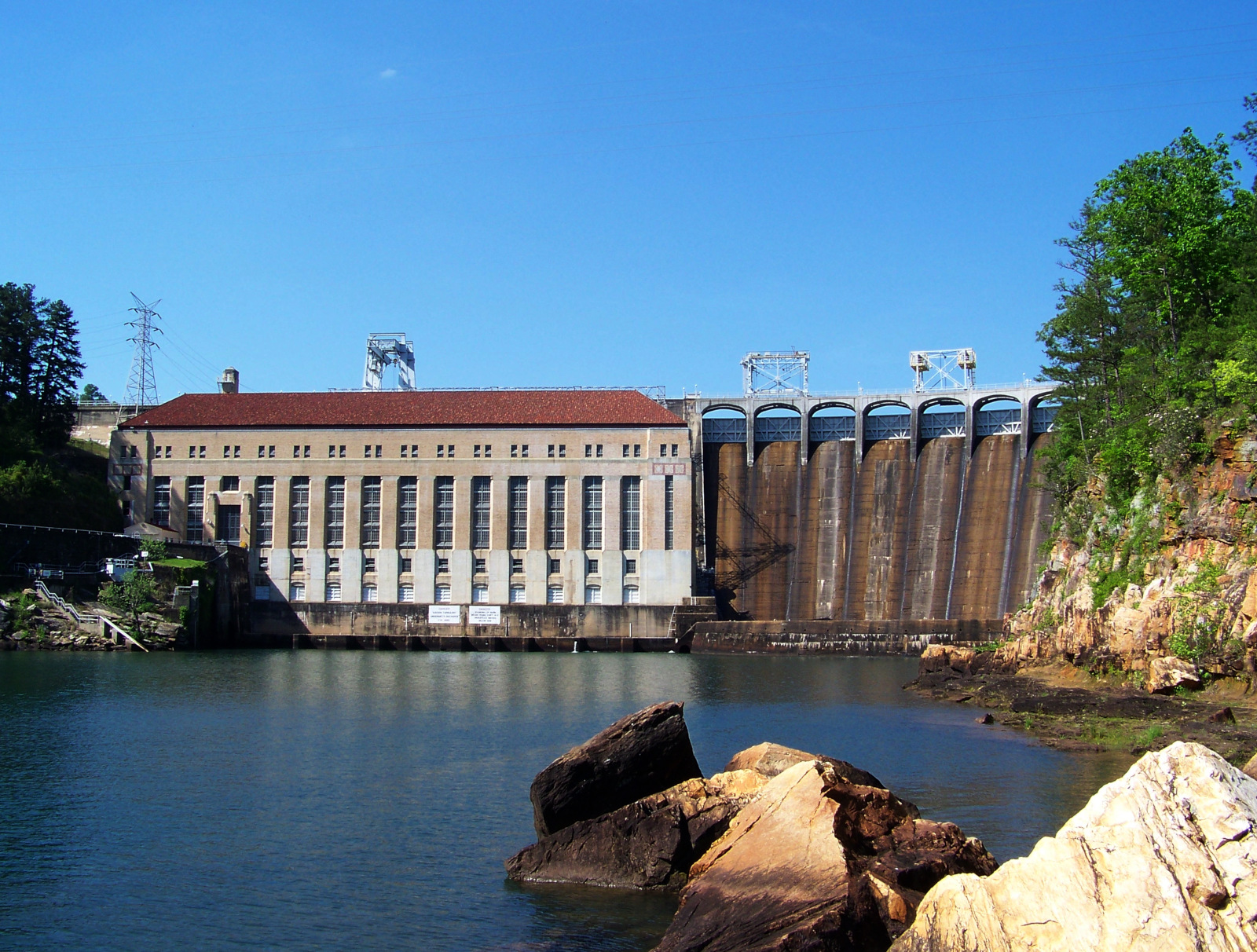
View of the powerhouse and spillway of West Point Dam, with part of the long embankments on either side that form West Point Lake.
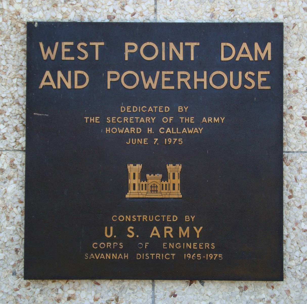
Dedication plaque of West Point Dam.
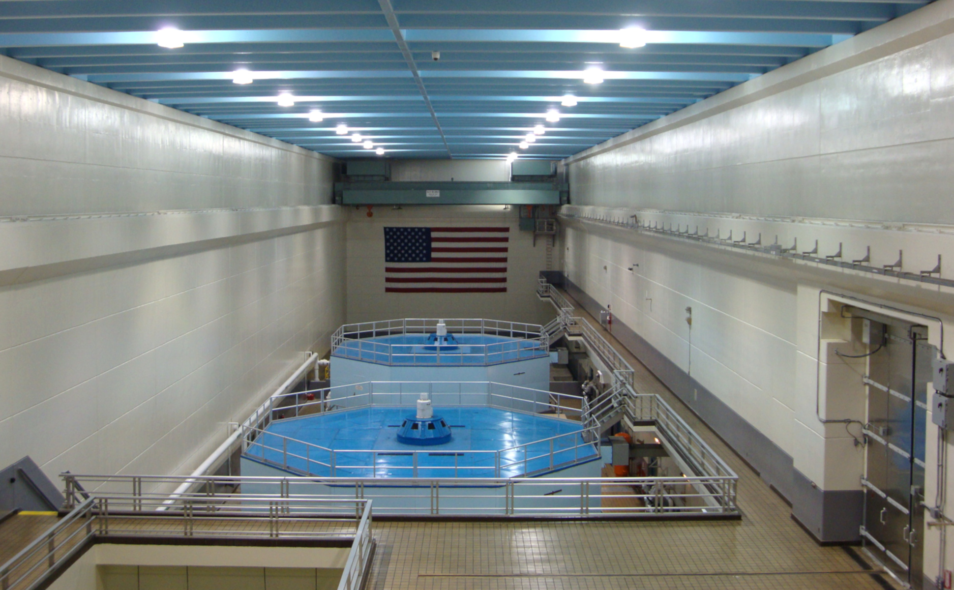
Interior view of the generator hall of West Point Dam.
From Valley, Alabama to Columbus, Georgia, the Chattahoochee passes through the Fall Line, where the river descends steeply from the Appalachian piedmont to the coastal plain. Small dams on the river in Valley and Columbus used to divert water into textile mills, before the mills closed.
The Langdale Mill in Valley. The dam for the mill is out of sight behind the trees in the background.
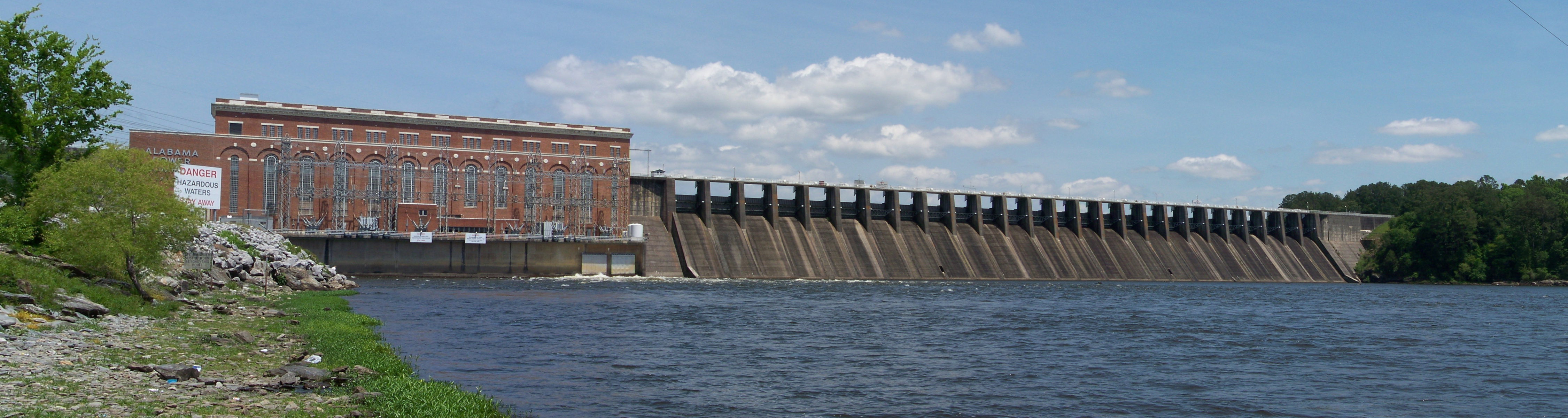
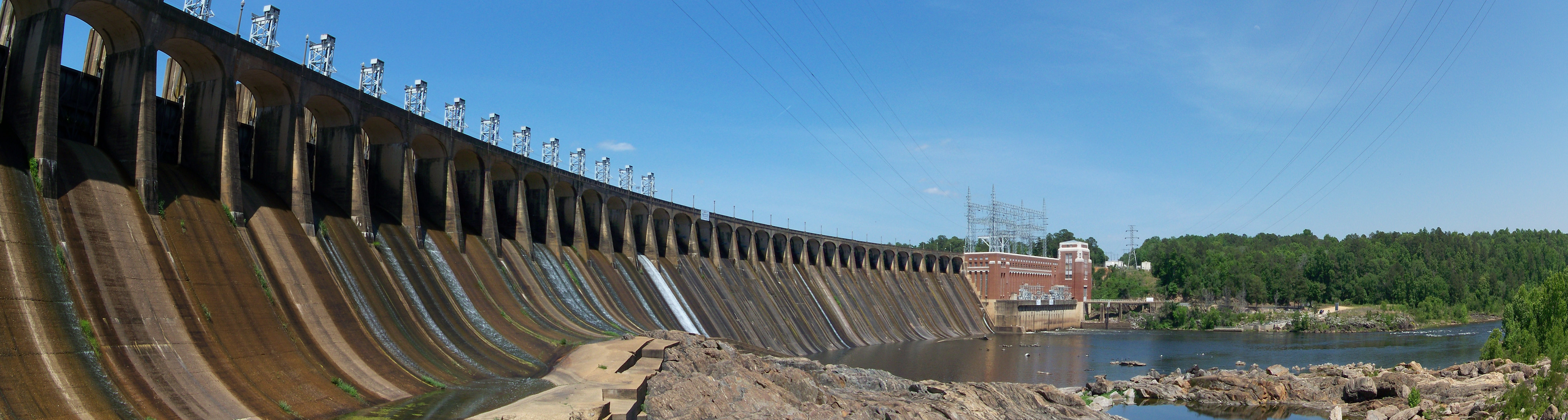
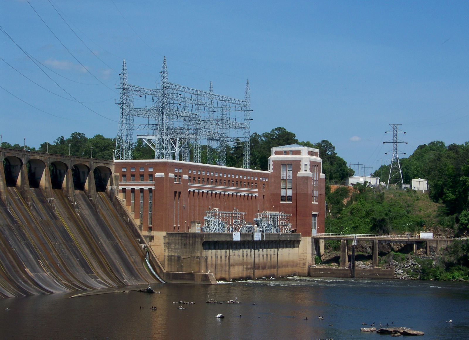
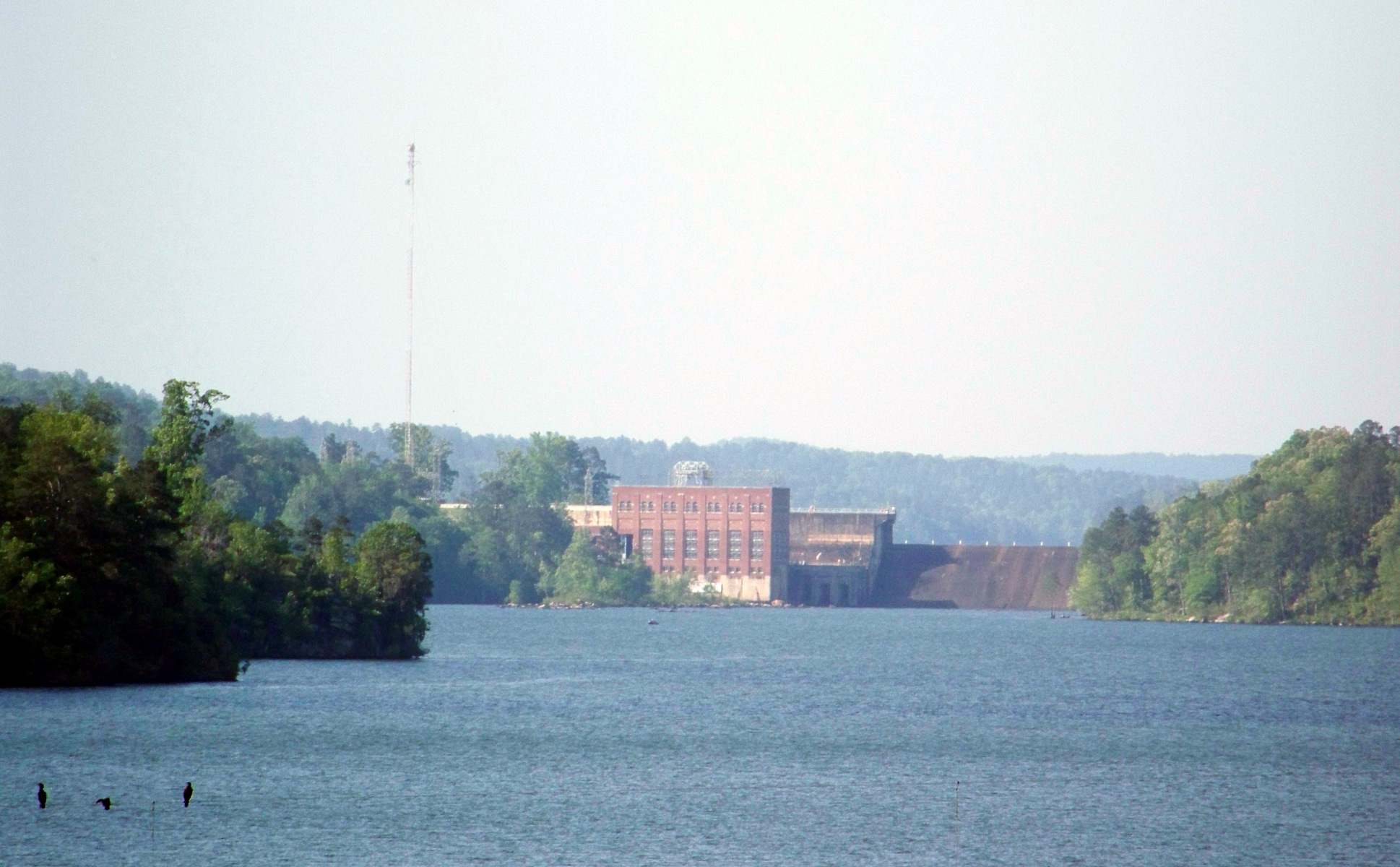
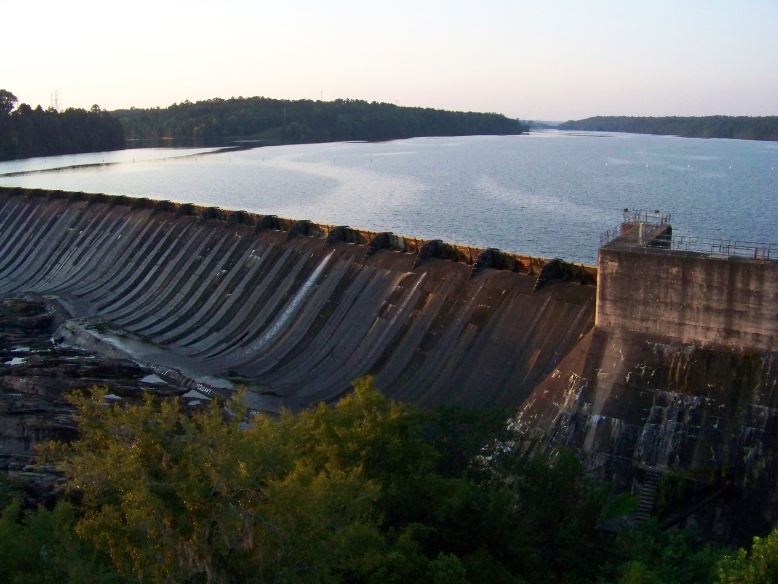
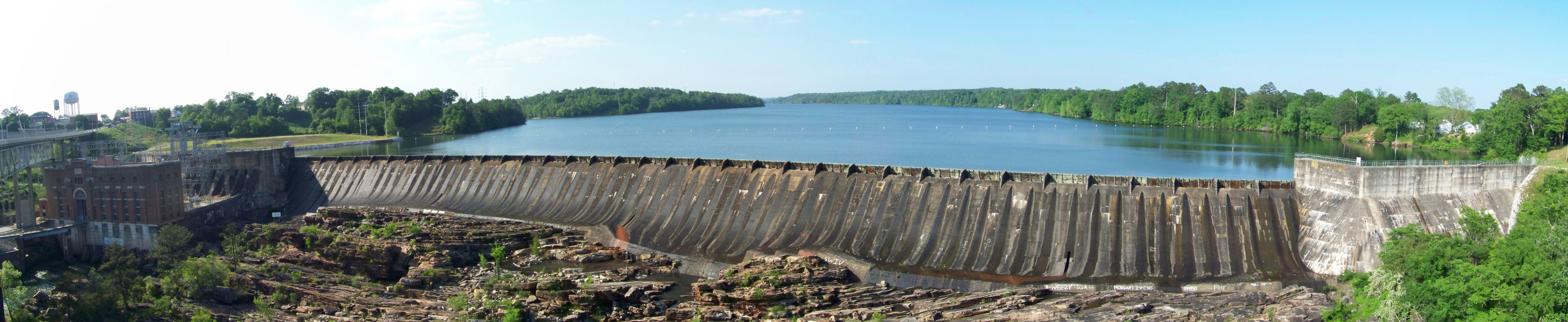
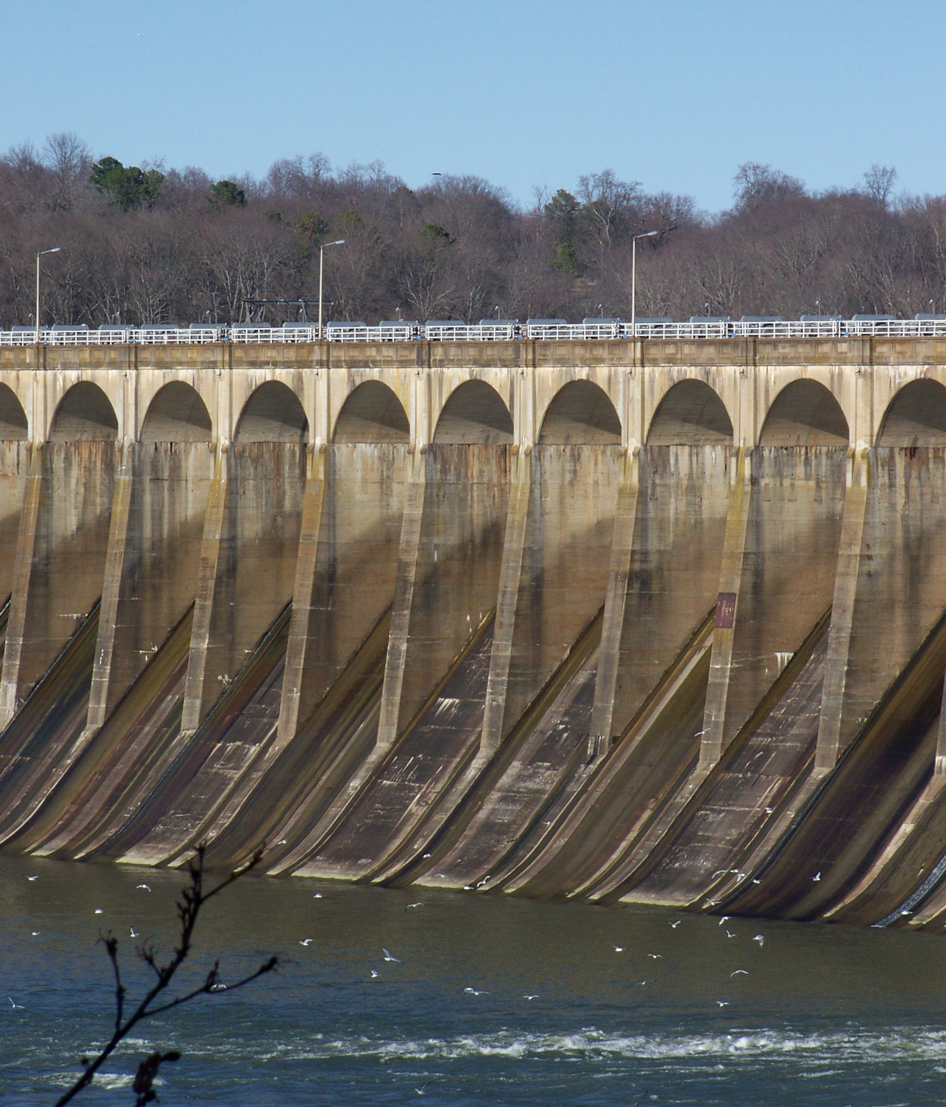
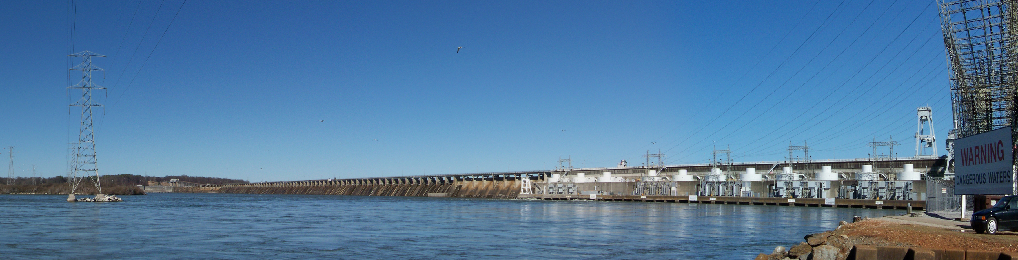
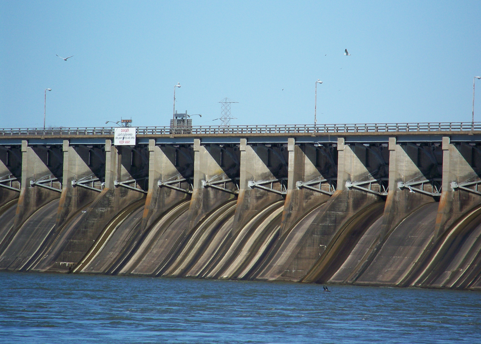
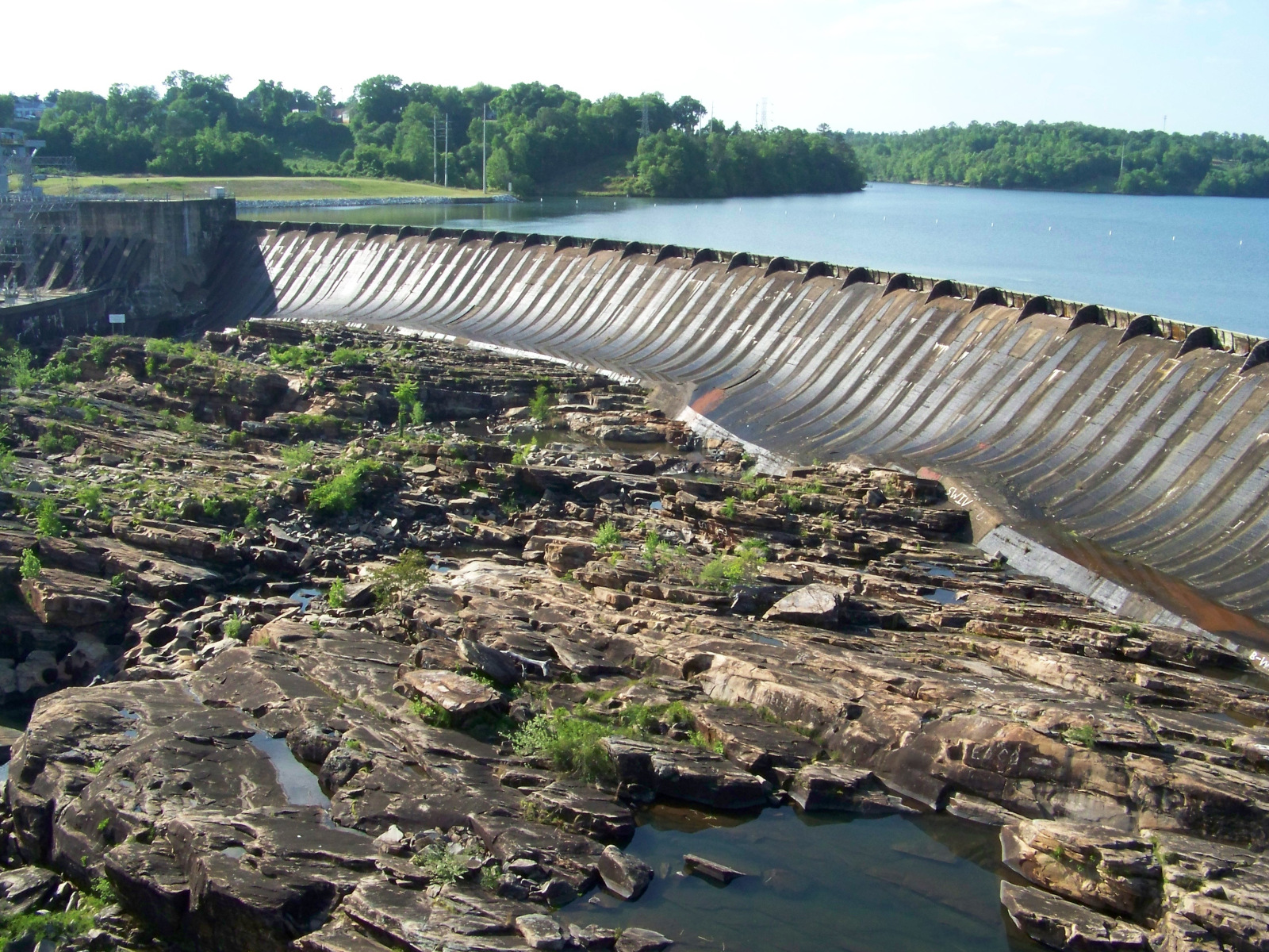
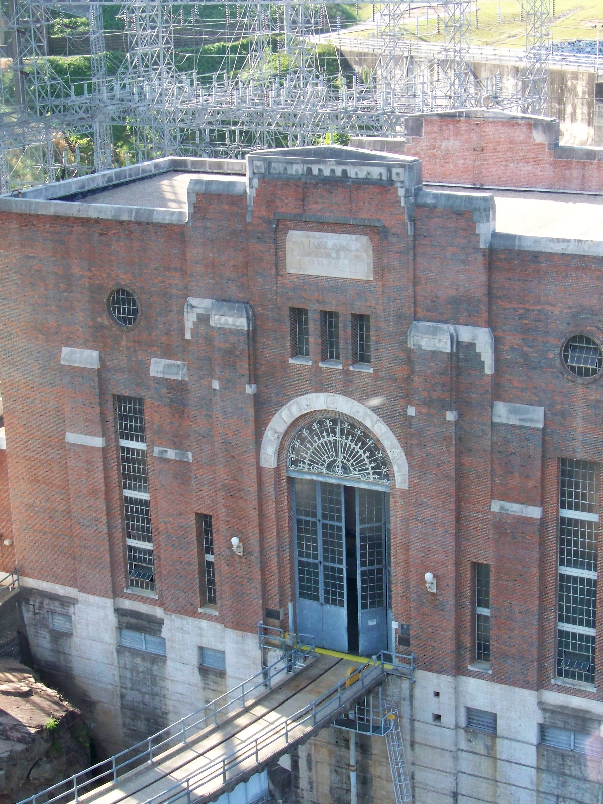
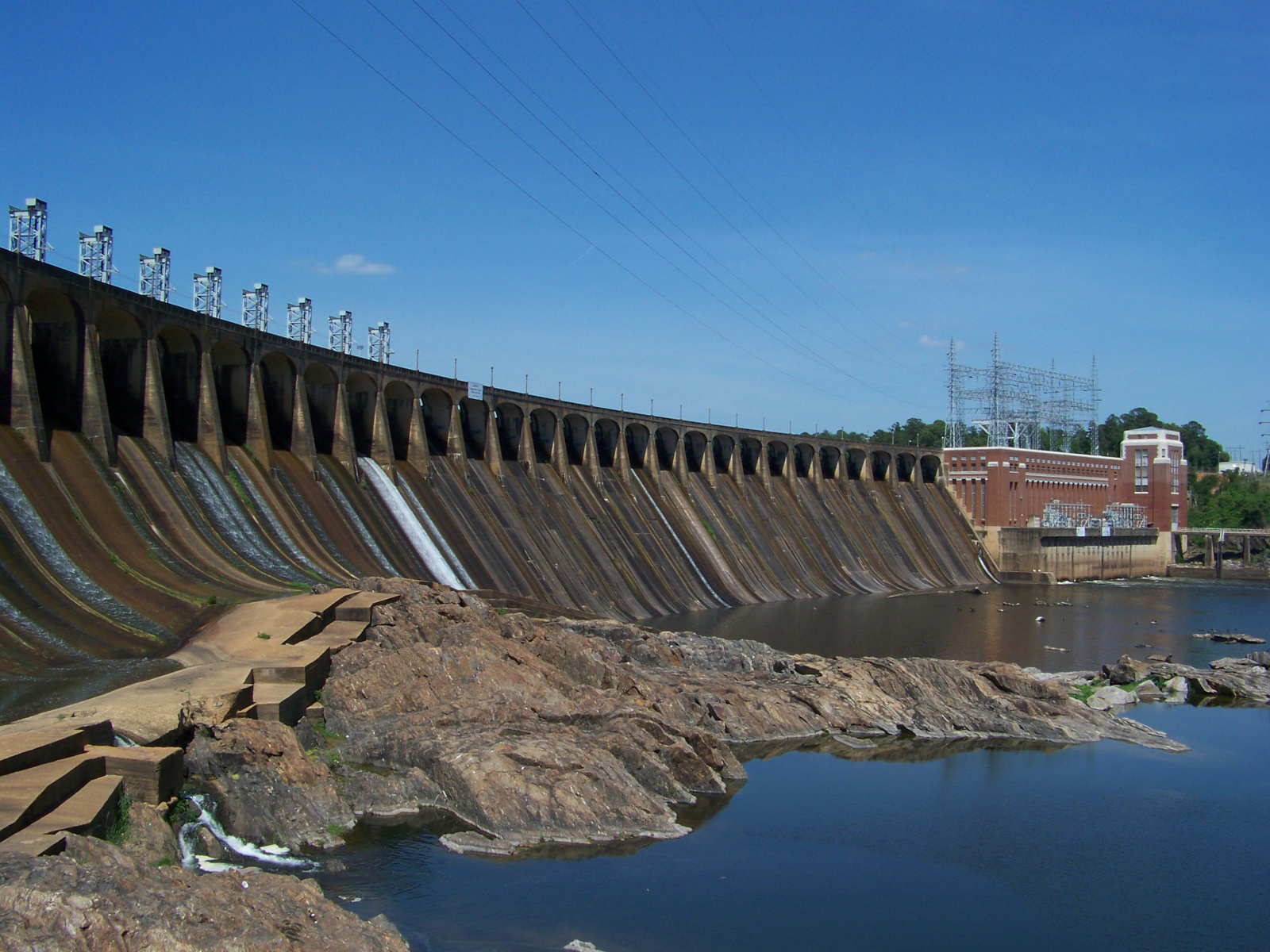
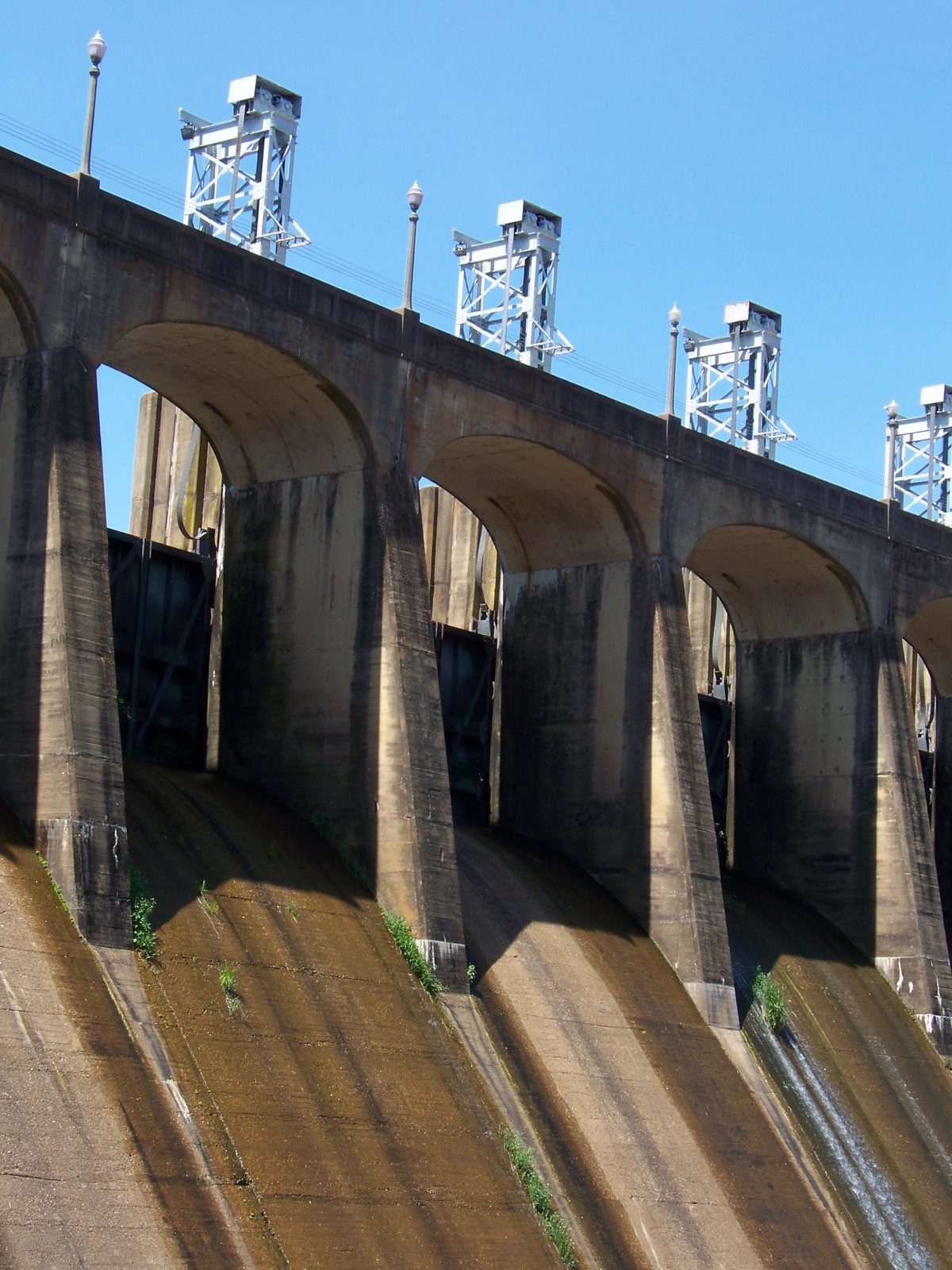
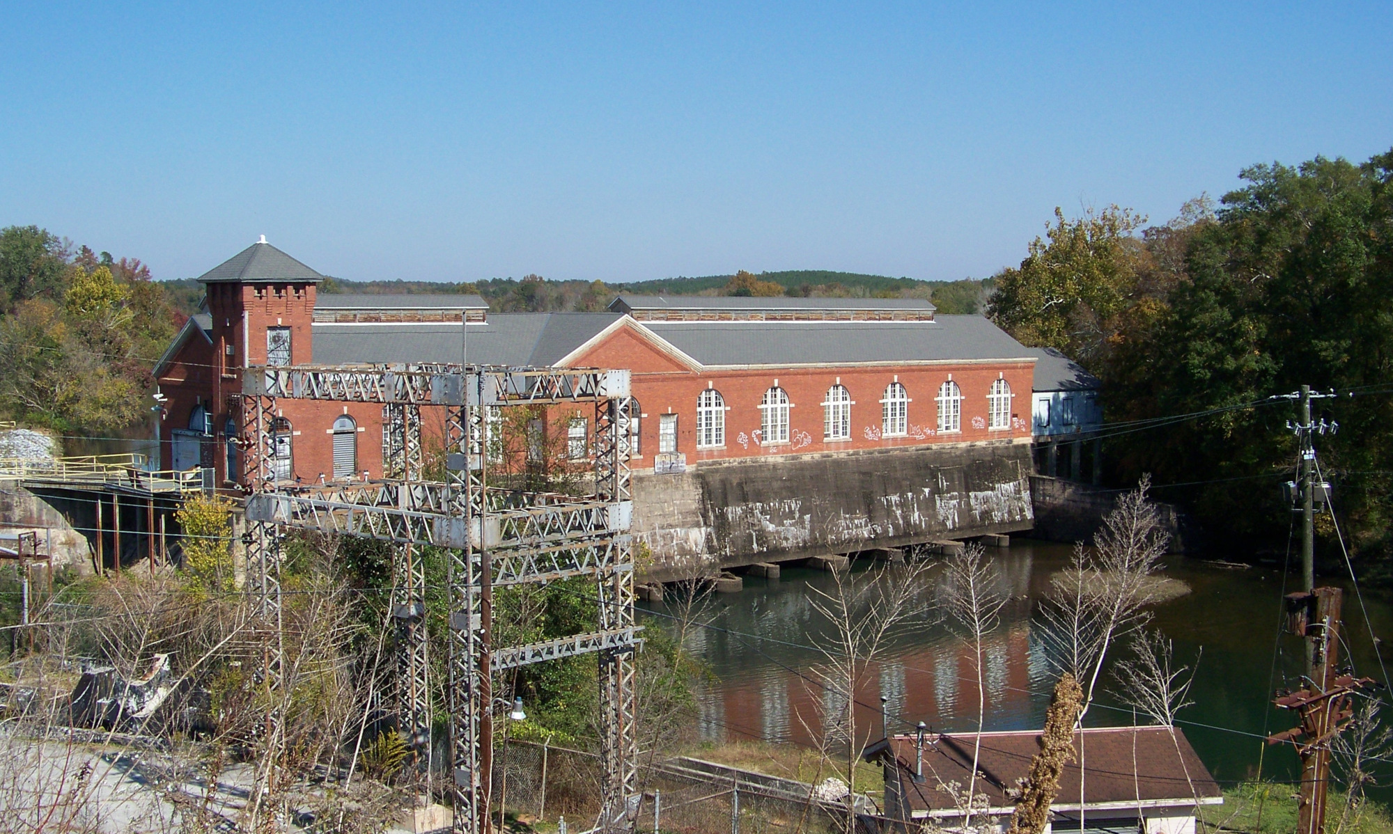
Georgia Power, a private electric utility, operates a cluster of dams downstream from Valley. Columbus Electric and Power Company built Bartletts Ferry Dam in 1924-1925, and Georgia Power took it over in 1930. Georgia Power modified the dam after World War II, raising the dikes on either side of the dam and adding a fourth generator and buttresses to the spillways. Another phase of modifications in the eighties added a second powerhouse with two additional generators. As the dam stands now, it looks similar to the Alabama Power dams on the Tallapoosa and Coosa rivers.
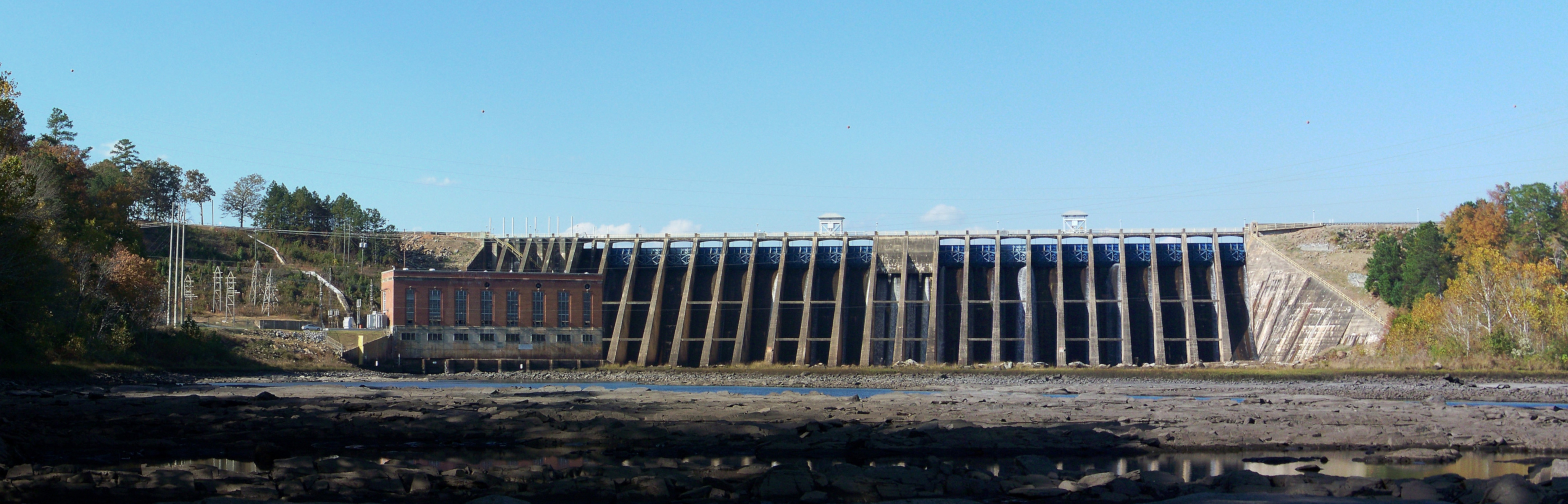
Panoramic view of Bartletts Ferry Dam, which forms Lake Harding on the Chattahoochee River.
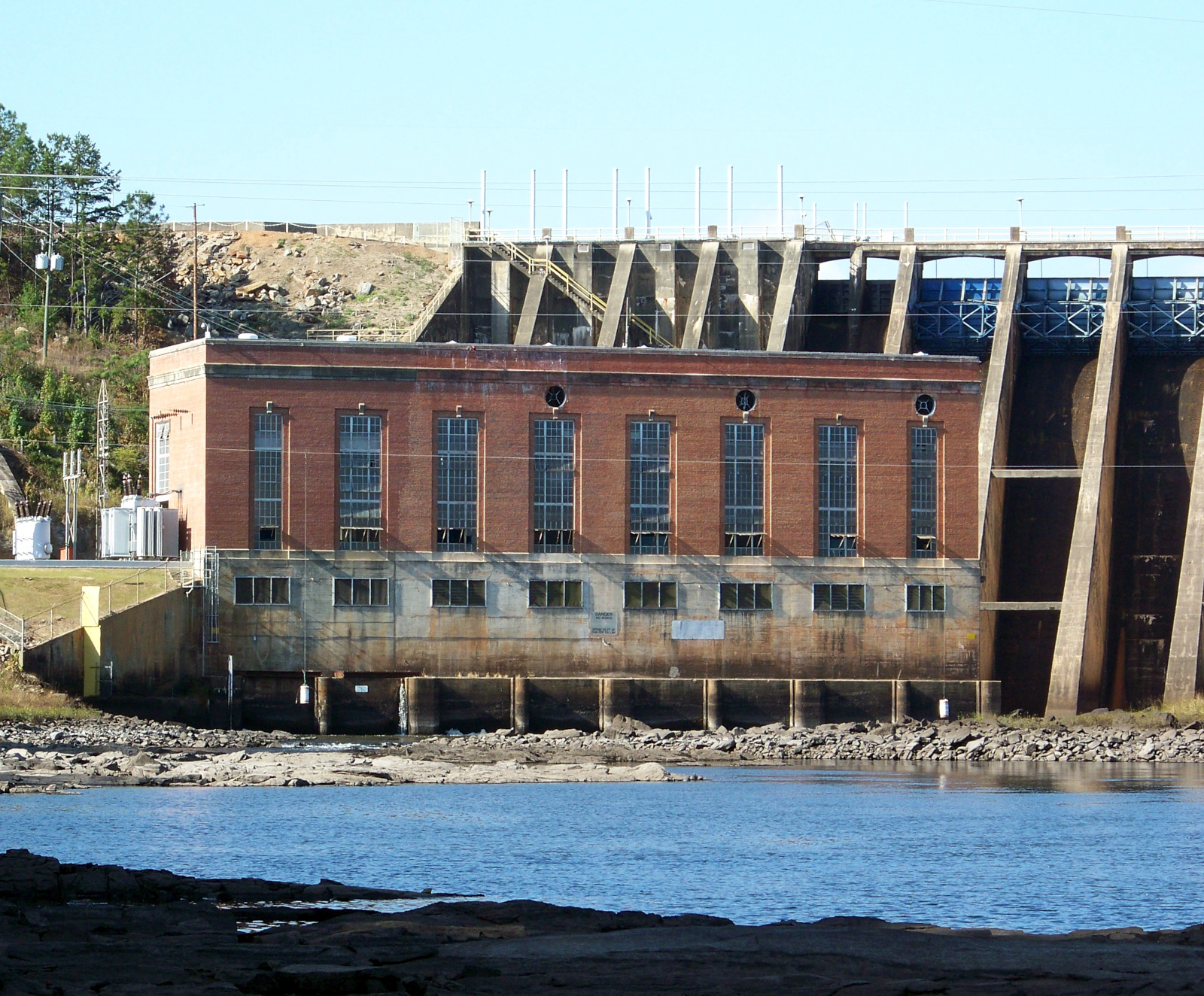
The original powerhouse of Bartletts Ferry Dam, built 1924-1925 and expanded after World War II.
The next dam downstream is Goat Rock Dam, built in 1912. According to the Georgia Power website, the dam was named after a family of goats that used to cross the river by hopping from rock to rock!
Goat Rock Dam, mostly obscured by trees.
Oliver Dam, built in 1959, is visible from the US-80 highway bridge on the north side of Columbus, Georgia.
Oliver Dam on the Chattahoochee upstream of Columbus.
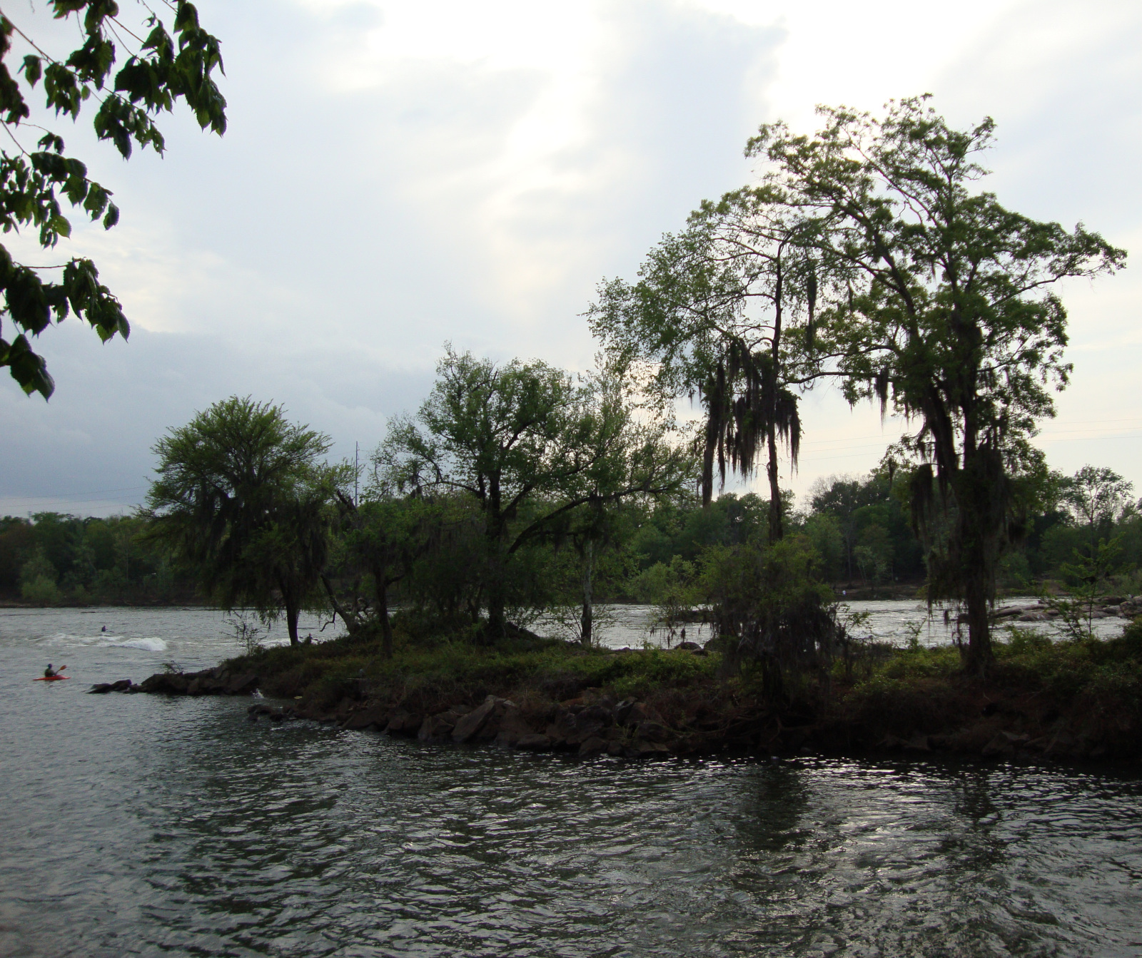
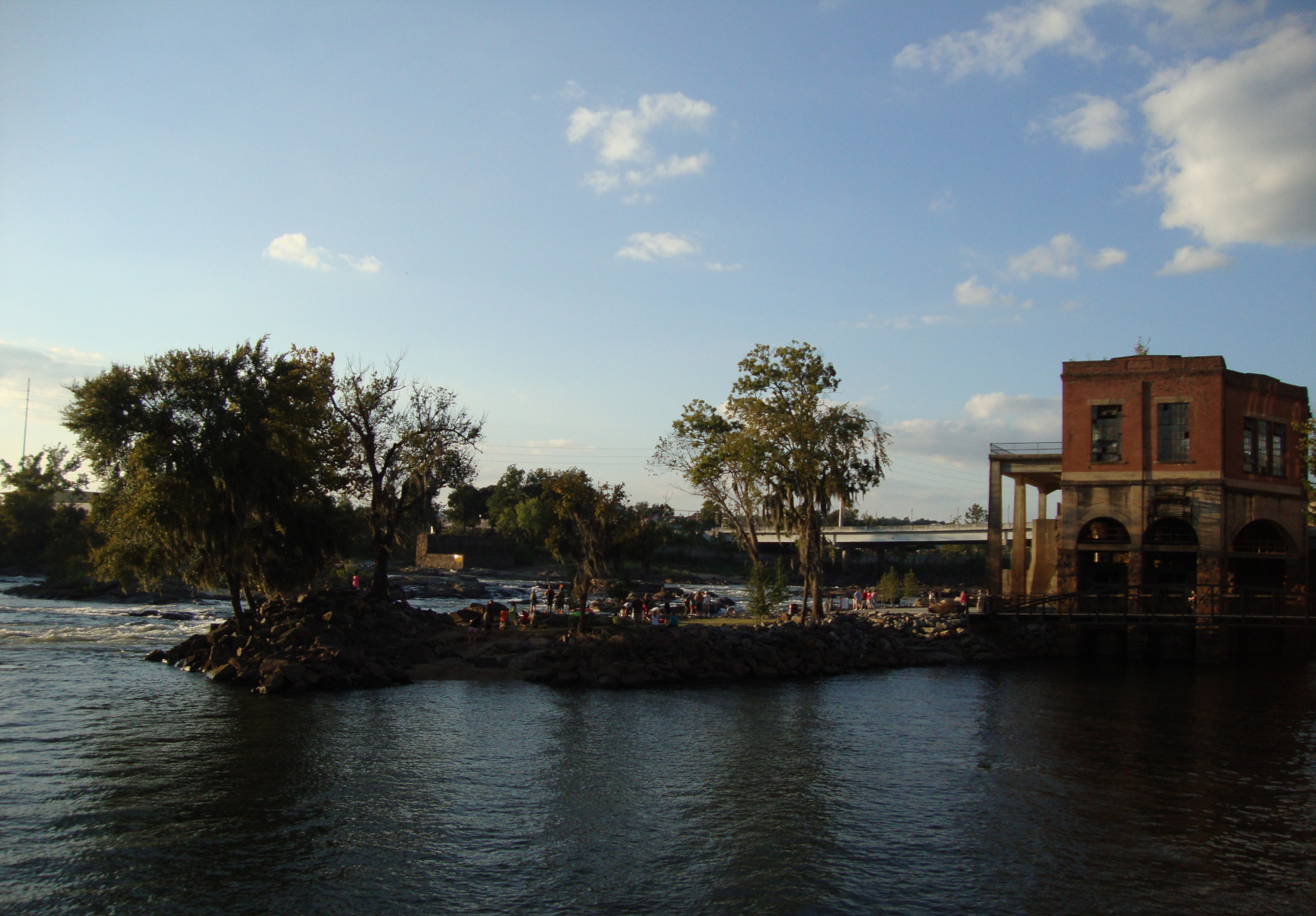
The number of dams on the Chattahoochee is actually decreasing. In 2012 and 2013, the city of Columbus removed two dams that had diverted water into the city’s textile mills: Eagle & Phenix Dam and City Mills Dam. Since the mills had been closed for some time, the city removed the dams in order to restore whitewater along a stretch of the river. When I visited Columbus in 2013 to check out the progress at Eagle & Phenix, I found that the dam was all gone and whitewater was churning where the dam used to be. The old powerhouse was still there, and some of the ductwork had been left in place. A formerly inaccessible island had been developed into a park. I was gratified to see that some restoration work had been done on the river, but the old industrial heritage hasn’t been removed entirely either.
The old textile dams of Valley are also in their last days. Georgia Power has started to go through the bureaucratic process to remove two small dams, Langdale and Riverview, once their licenses expire in 2023.
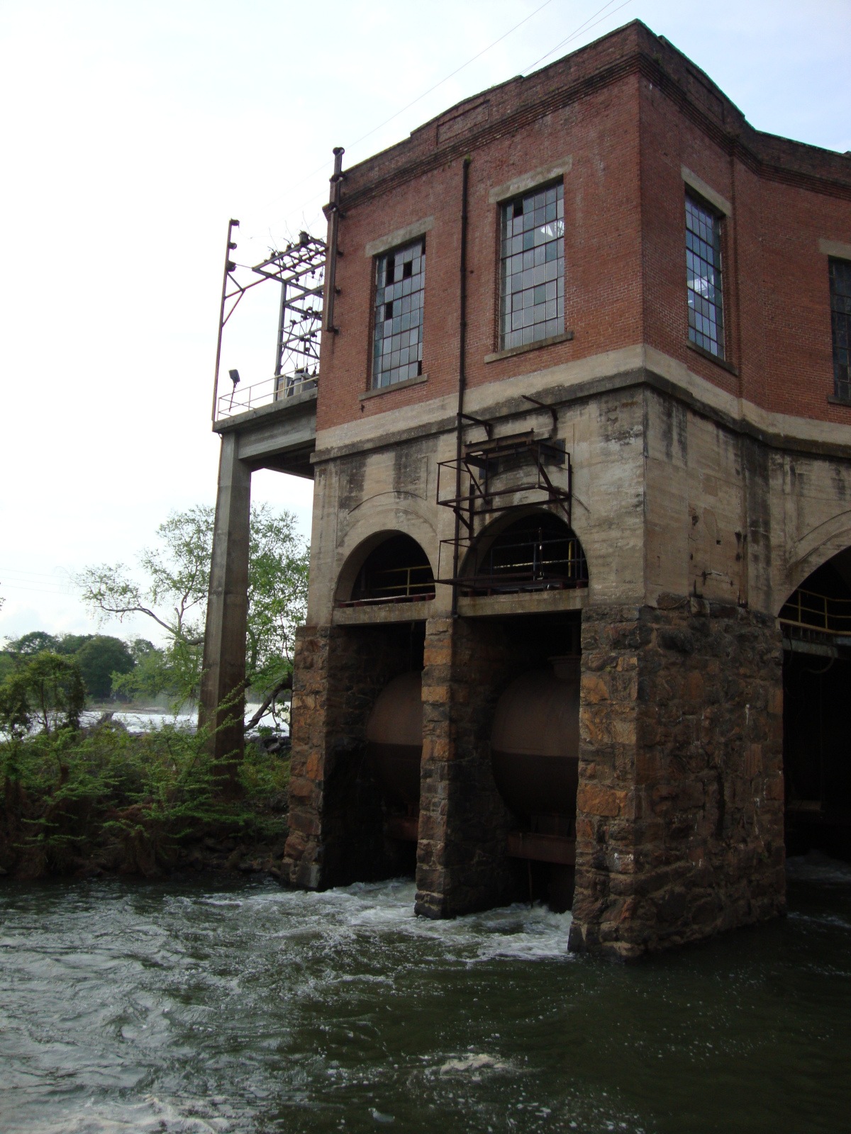
The powerhouse of Eagle and Phenix Mills, seen in 2011 before the dam was removed.
An island adjacent to the Eagle & Phenix Dam, before the dam’s removal.
The same site in 2013, after the removal of the dam. The island in the previous picture is now a park.
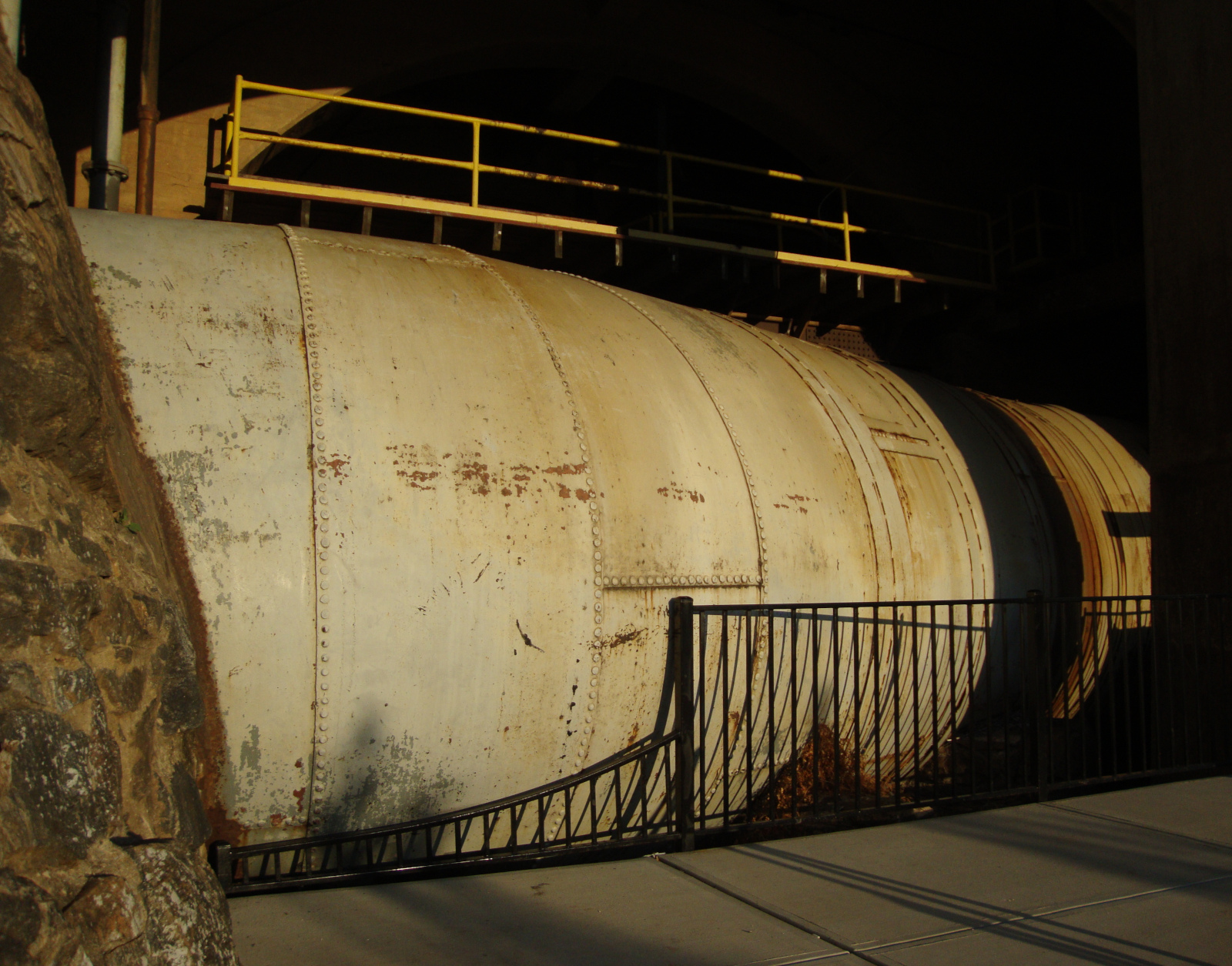
Some preserved ductwork in the Eagle & Phenix Mills powerhouse.
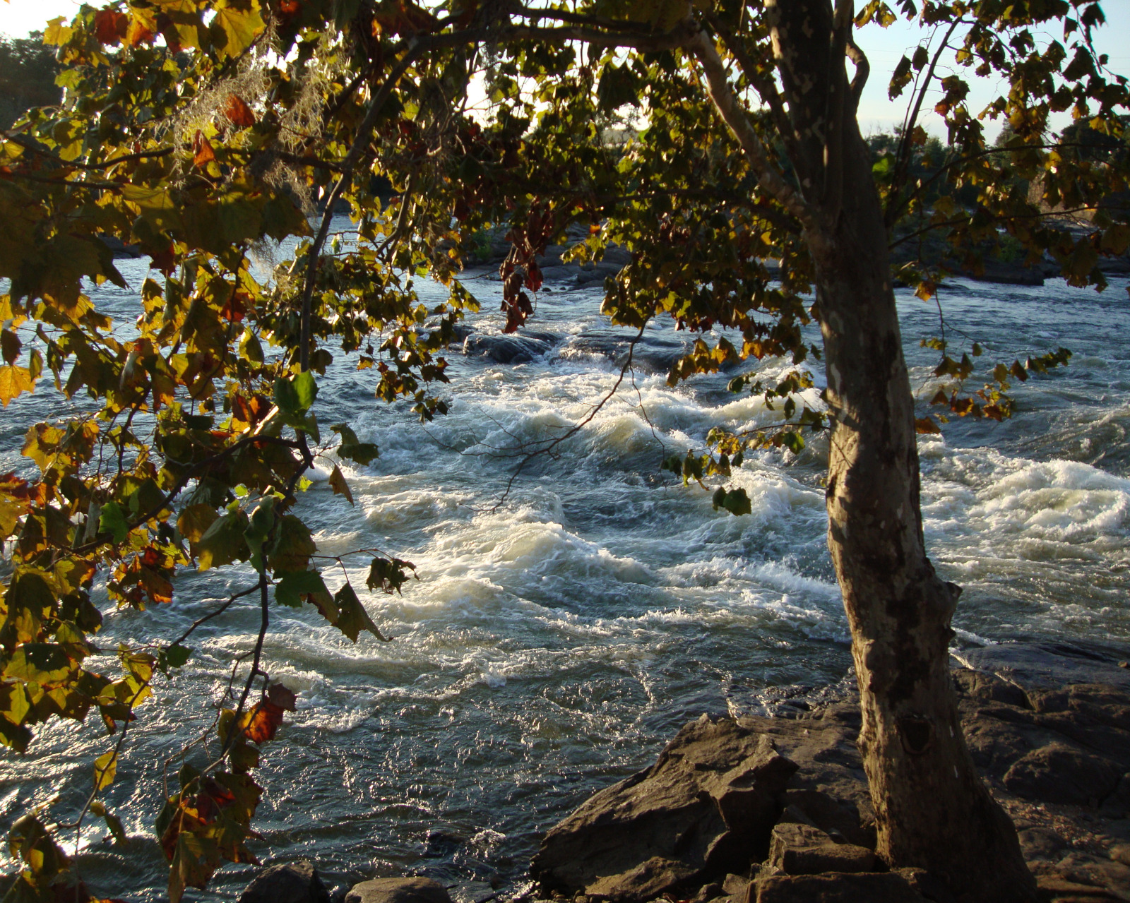
Whitewater at the former site of the Eagle & Phenix Dam.
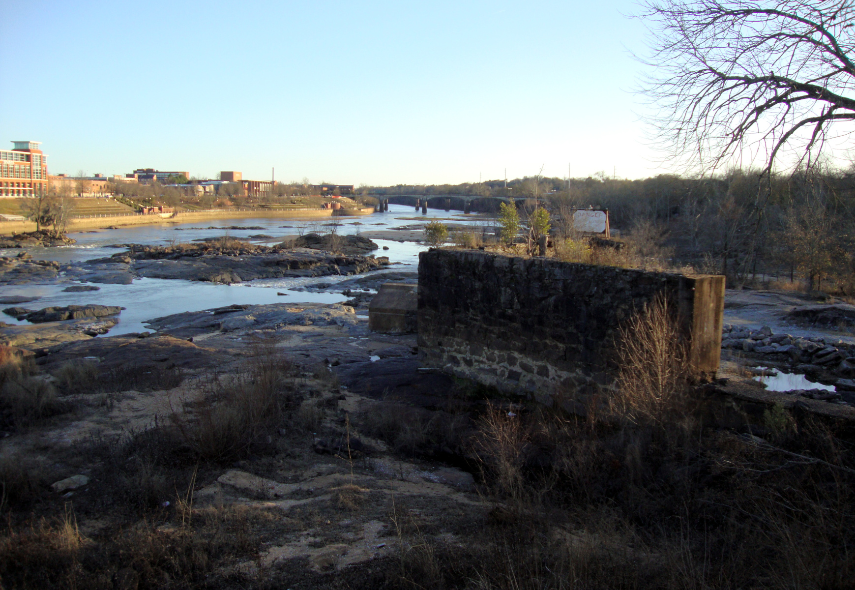
Remnants of the Eagle & Phenix Dam next to the restored stretch of river.
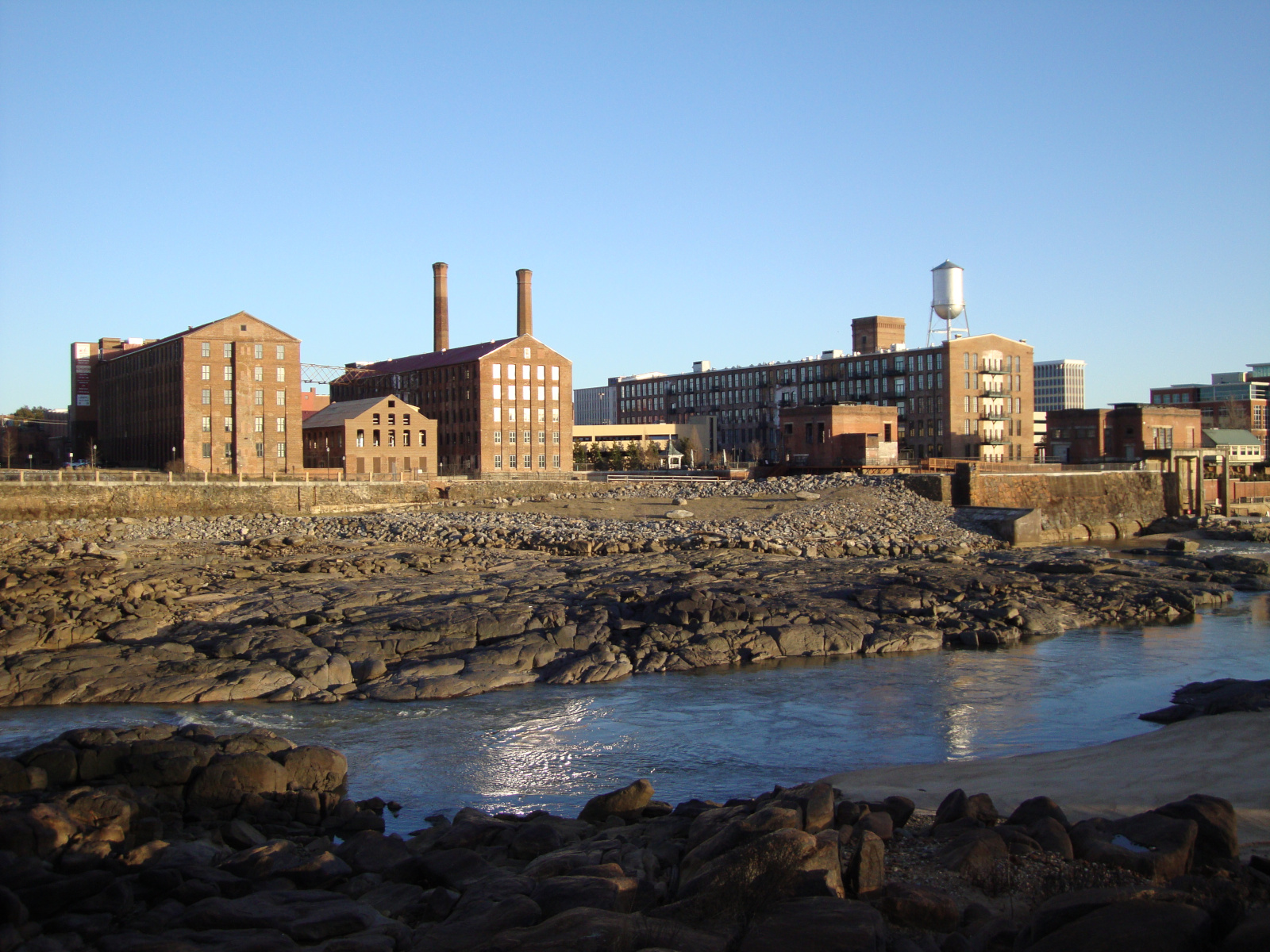
The former Eagle & Phenix Mills.