When I moved to Alabama for graduate school ten years ago, the American Southeast at first seemed less interesting than I had hoped it would be. I’d had ideas that the Southeast would have a strong sense of history, because this was where the Civil War and Civil Rights Movement had taken place. But I found that most of the towns in east-central Alabama did not seem particularly old or historic. The town of Auburn, where I lived, consisted mostly of postwar construction, with only a few nineteenth-century buildings. It was not until the end of my second year of grad school that I found something in Alabama that really inspired my sense of history in a uniquely historian-of-technology way: dams.
I was no stranger to dams. As the son of a power engineer, I had visited my share of dams on family vacations. I had also gone to college in Washington State, and I would see dams along the Columbia River whenever I drove to Portland. But it wasn’t until the end of my second year in Alabama that it occurred to me that there might be some dams near me. I was vaguely aware that there must be a dam at the end of Lake Martin, which I would cross over on the way to Birmingham. But I had no idea what it looked like, who built it, or when.
In the spring of my second year of grad school, I had been reading about dams built in India during Nehru’s time as I hunted for a dissertation topic. It occurred to me one fateful day that there were dams on the Tallapoosa River nearby that I had never seen, and they might make for an interesting Saturday afternoon excursion. Looking at a map, I found that I could see three of the Tallapoosa’s dams in a single trip, including the dam that impounded Lake Martin.
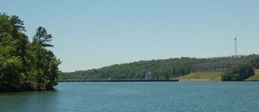
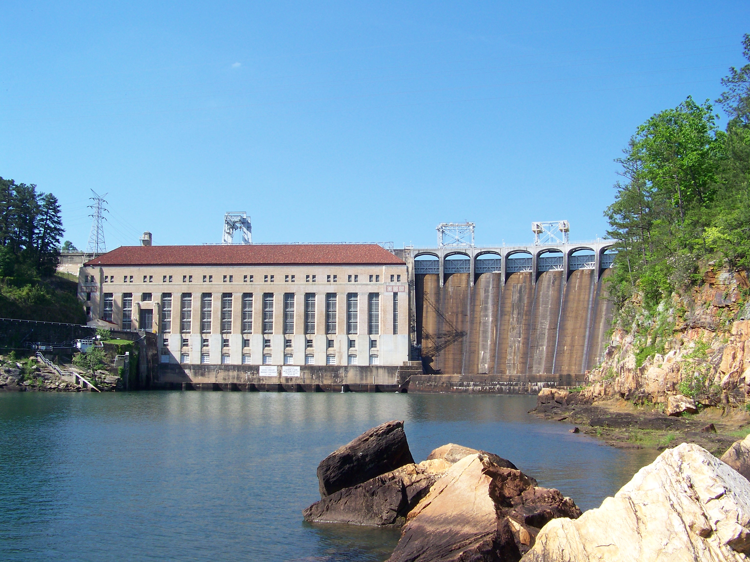
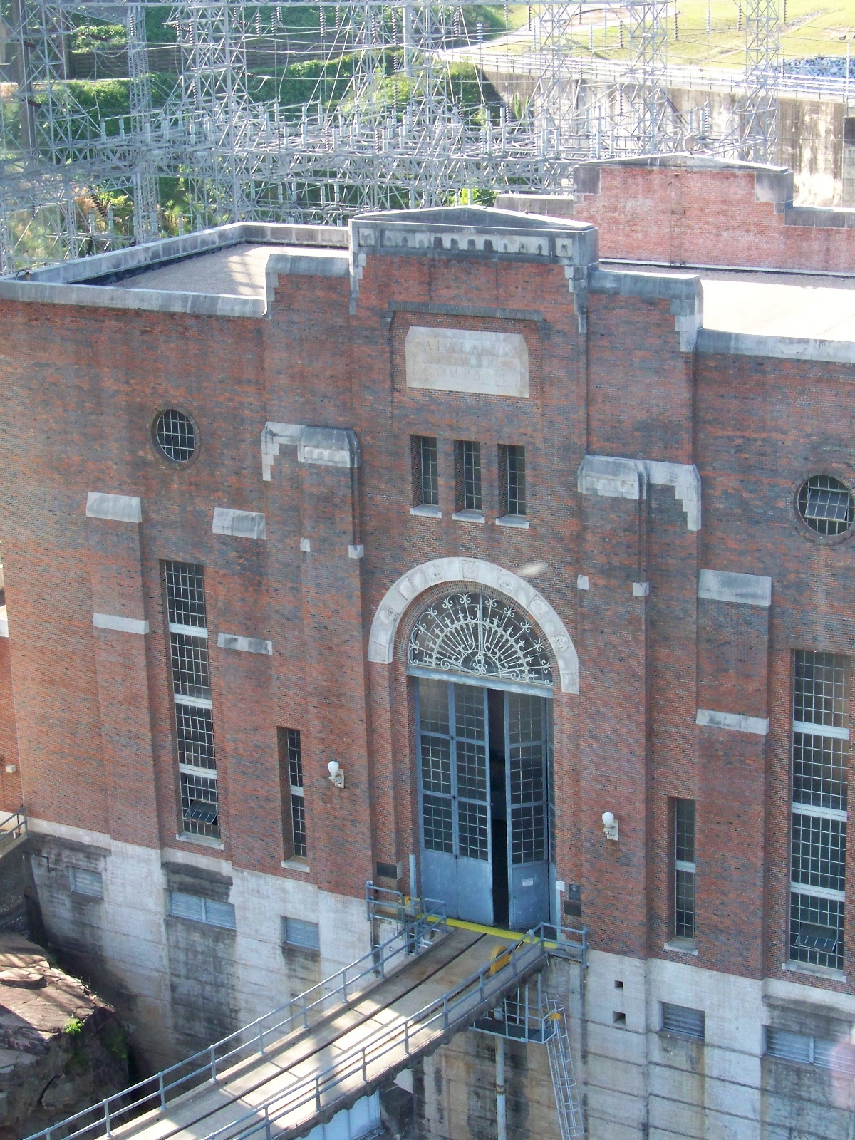
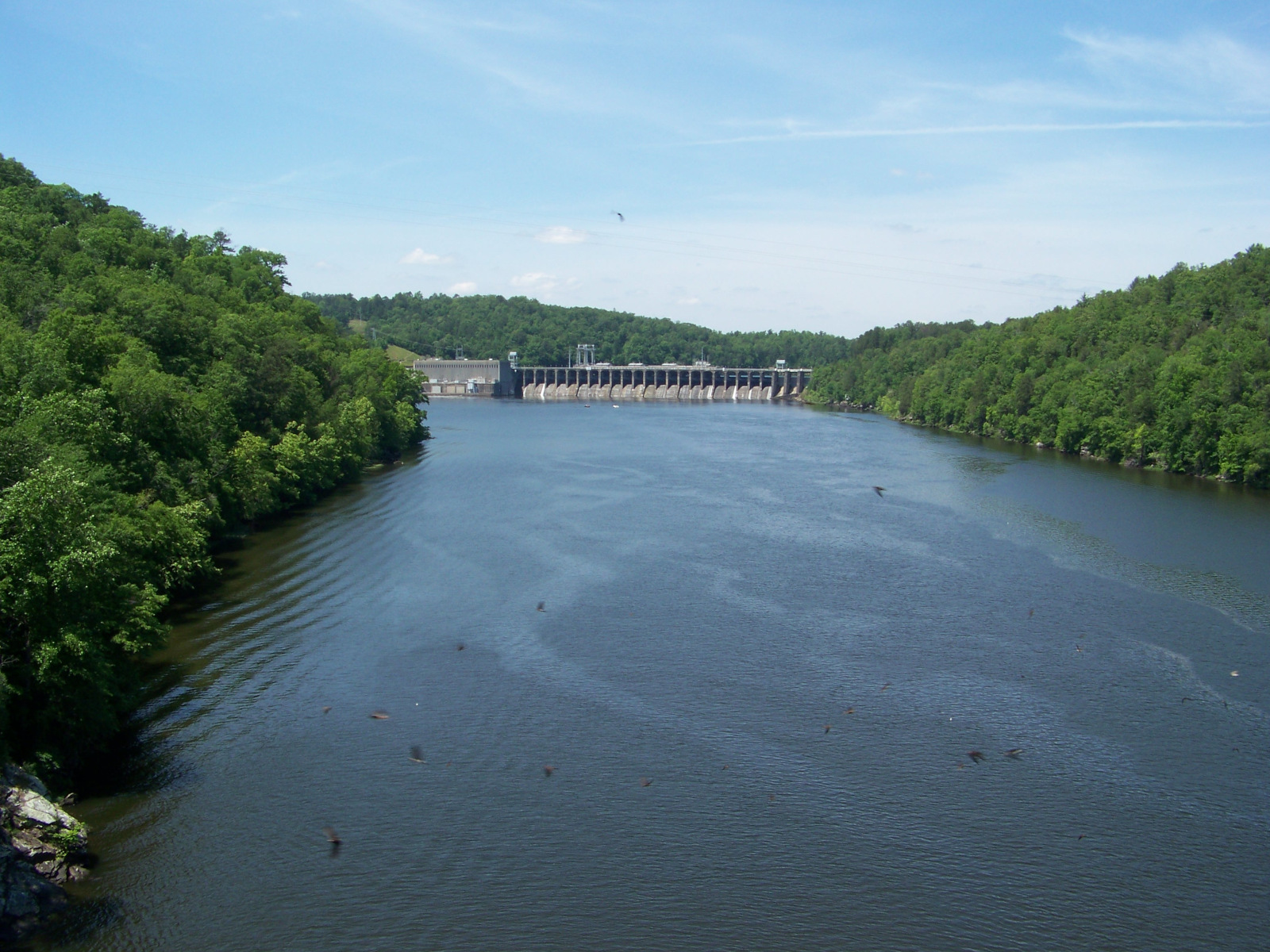
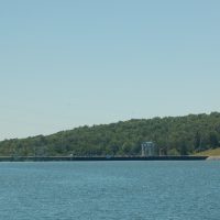
The first dam on my tour was Martin Dam, which I reached by taking AL-50 off of US-280 at Camp Hill. The road swings around the southeastern side of Lake Martin and passes over a bridge right in front of Martin Dam. There was no overlook for the dam, but I did find a place to pull off to the side of the road and park. The dam itself was tucked back in a canyon; I found a vantage point of it by following an abandoned roadbed for an old bridge across the river. The dam was big and impressive, if not exactly colossal.
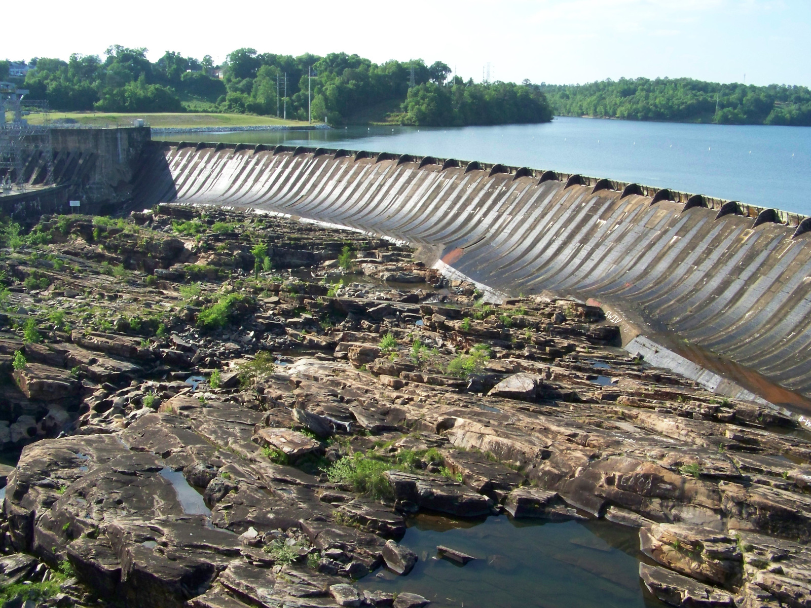
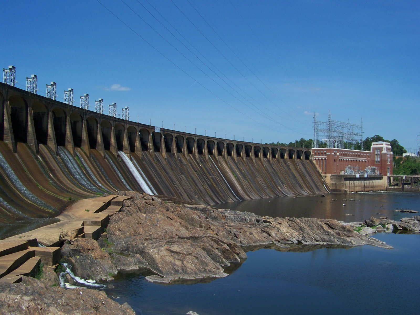
I continued south along the Tallapoosa. The next dam, Yates, did not appear to be accessible. (I later got a view of it from downstream.) But the last dam, Thurlow, was right in the middle of the town of Tallassee. A bridge ran right in front of it, and I could see the whole thing from a sidewalk on the bridge.
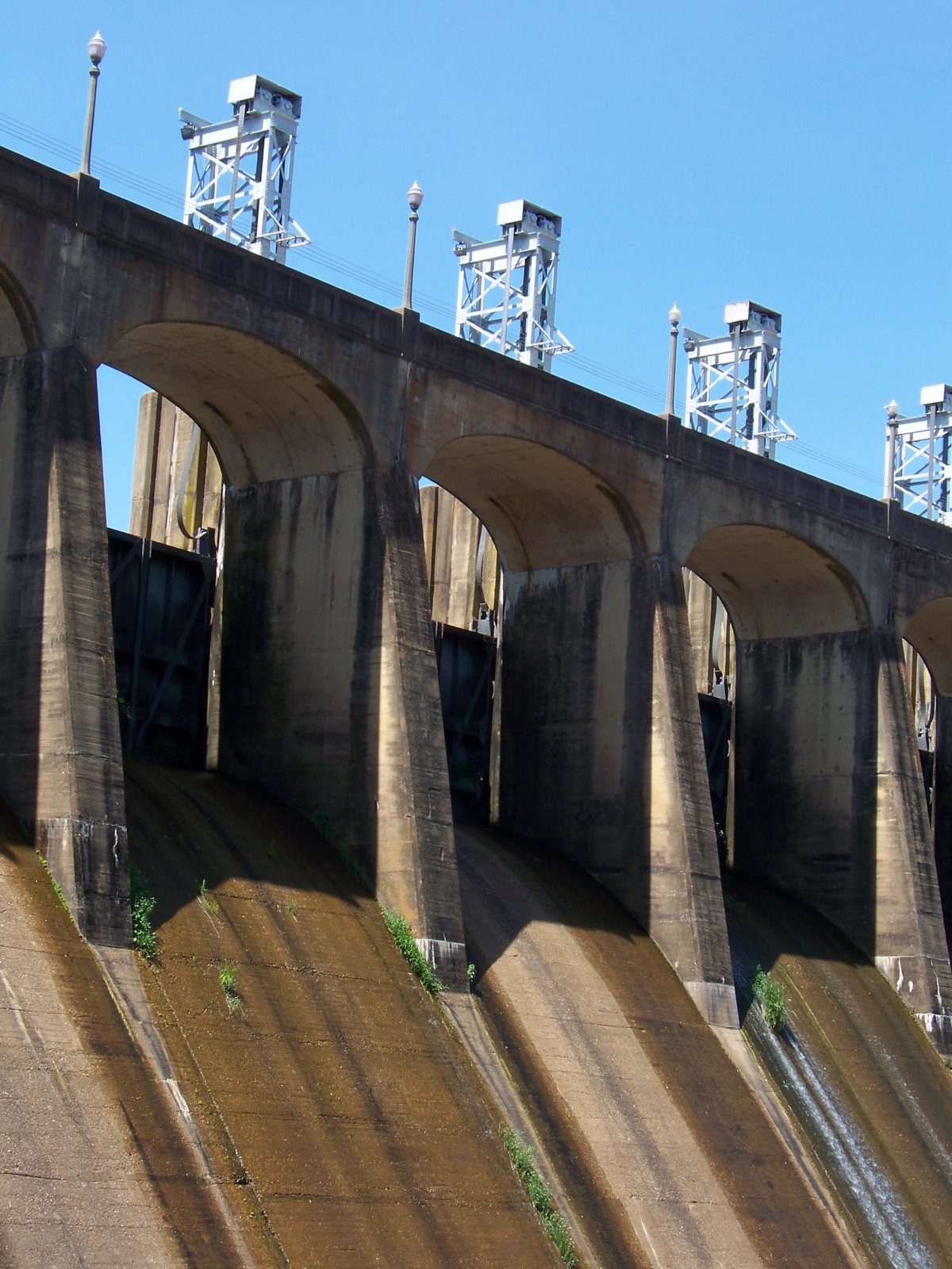
From Tallassee, I took AL-14 straight back to Auburn. I eagerly sorted my pictures from the day. The next day, I checked out a book from the university library about the construction of the dams I had just seen: Putting “Loafing Streams” to Work: The Building of Lay, Mitchell, Martin, and Jordan Dams, 1910-1929, by Harvey H. Jackson. In the book, I read about how Alabama Power had transformed the landscape of the Alabama piedmont by building dams on the Tallapoosa and Coosa Rivers in the early twentieth century.
Seeing the dams and learning about their history opened up previously unexplored terrain in my mental map of Alabama history. It turned out that there were other interesting things that had happened in the state besides Civil War and Civil Rights. Those dams had been there the whole time I had been here, and much longer. They told stories of ambition, development, hard work, and not a little modernist hubris. Until embarking on my study of Alabama’s dams, I had no idea those stories were there to be told. Now that I’d started to listen to the stories, Alabama began to seem a good deal more interesting than it had before.



Suzan Logan
Interesting, reminds me of our Snake River dam tour a few weeks ago on Easter
JoAnn Bukovina
What about Lake Purdy spillway /dam ? A neighorhood lies in the direct pathway of the spillway.
Willy
I don’t know, what about Lake Purdy? I never explored the Cahaba River system.