
Four years ago, when I was researching my dissertation, I spent a week in Shillong, capital of the Indian state of Meghalaya and formerly capital of Assam. Shillong is located at an elevation of 4,900 feet in the Khasi Hills, a part of the Meghalaya Plateau that rises between the flatlands of Bengal (Bangladesh) to the south and Assam to the north.
I spent time in Shillong because it is close to a dam I was studying, Umiam Dam. I was primarily studying the dam from a technological perspective, but since I was writing my dissertation, I wanted to consider it from every possible angle. This led me to think about the dam from an environmental perspective, which in turn got me thinking about the streams of Shillong.
Umiam Dam impounds a reservoir with a surface area of about four square miles, named alternately Umiam Lake or Barapani Lake. (Umiam is a Khasi word meaning “Weeping River”; Barapani is Hindi for “Big Water.”) The reservoir receives drainage from a catchment area of 85.5 square miles in the Khasi highlands. The city of Shillong is located within this catchment area.
I spent some of my week in Shillong walking around the city, trying to get a sense of the lay of the land. Two rivers flow through Shillong, the Umkhrah and Umshyrpi, both joined on their way by innumerable smaller tributaries and drains. I made it a point to see both rivers.
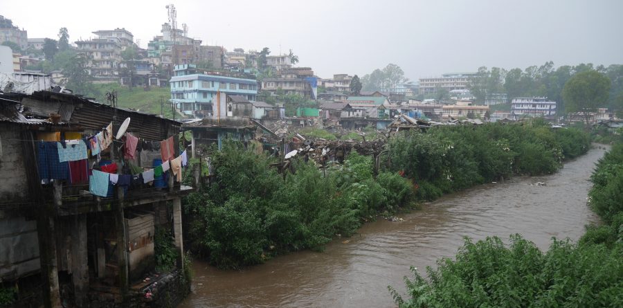
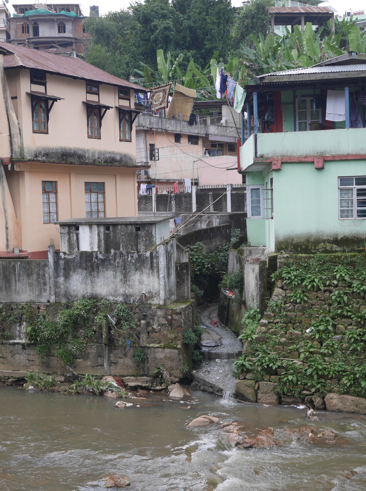
The Umkhrah River is on the northern edge of the city. I had vague memories of walking by it on my first visit to Shillong, five years earlier, but I didn’t pay much attention to it, and I didn’t even know its name. On this visit, I spent plenty of time walking along the river.
Houses right next to the Umkhrah River.
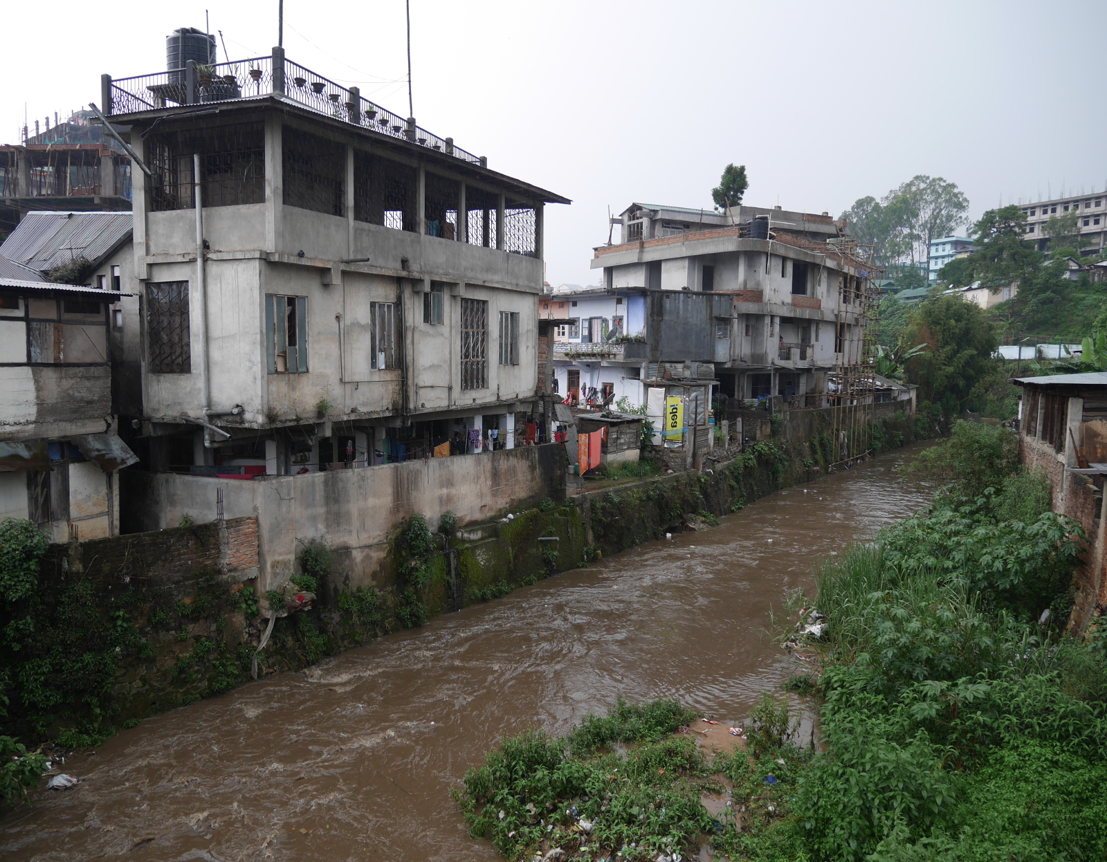
A bridge over the Umkhrah River in Shillong.
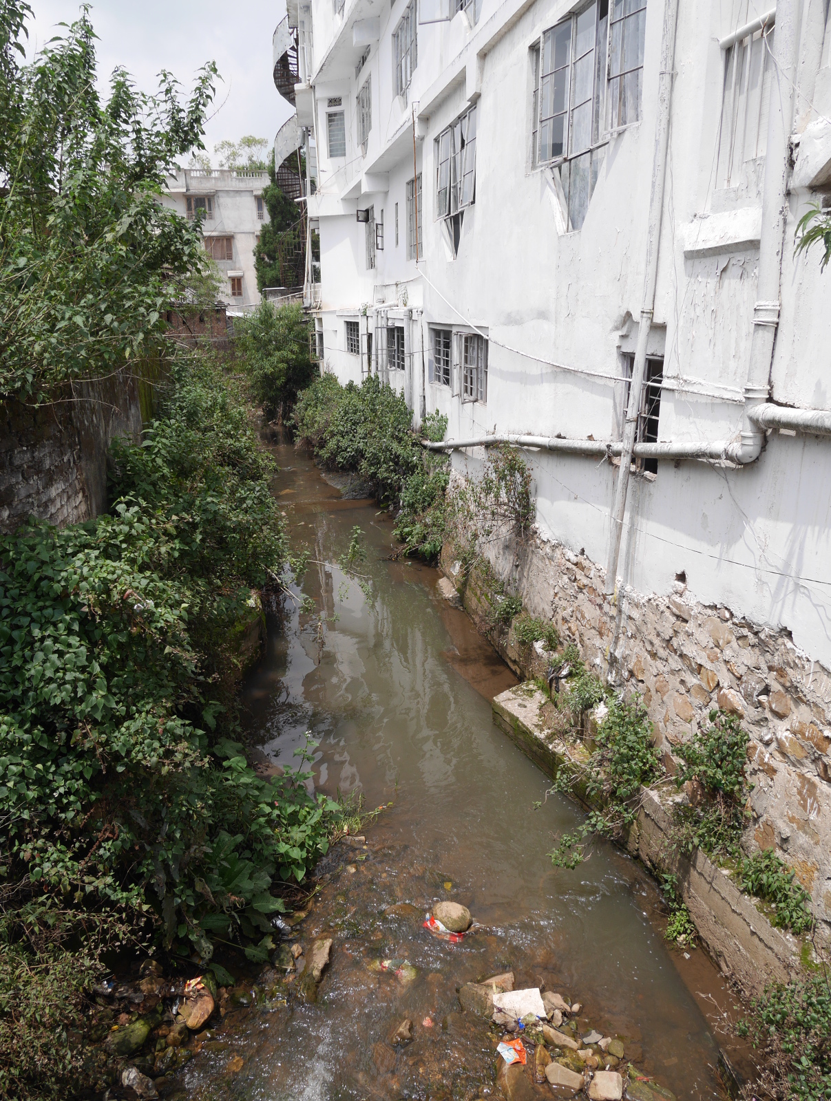
A still section of the Umkhrah.
One of the countless storm drains that empties into the Umkhrah.
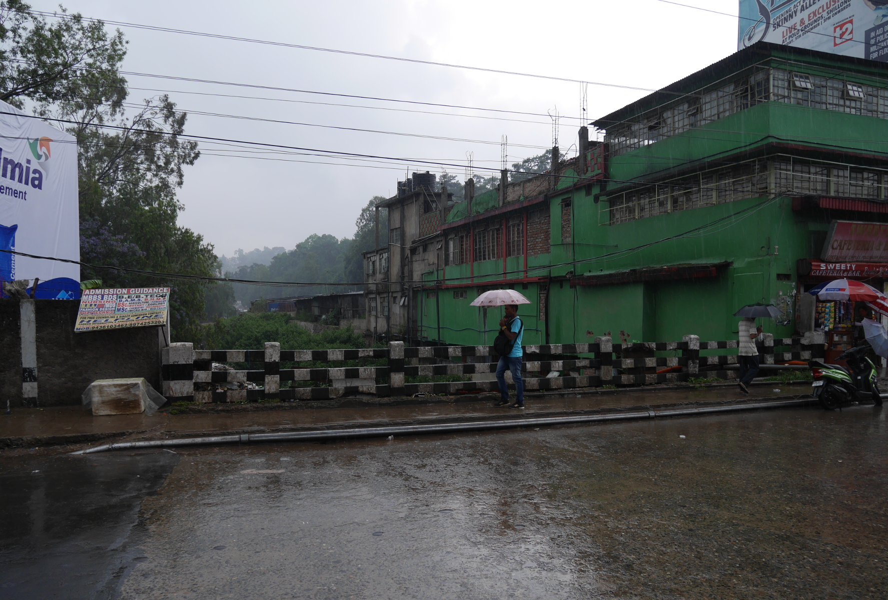
The Umshyrpi River to the south is separated from the Umkhrah by a ridge atop which the main bazaars and government buildings are located.
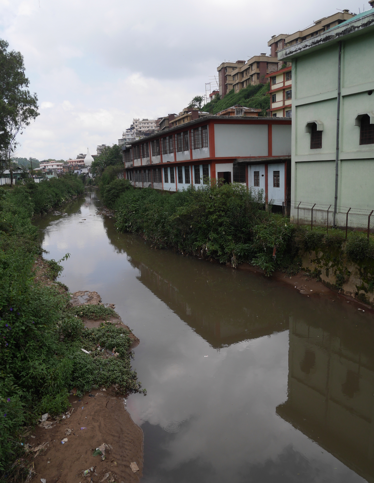
A tributary of the Umshyrpi River on the south side of Shillong.
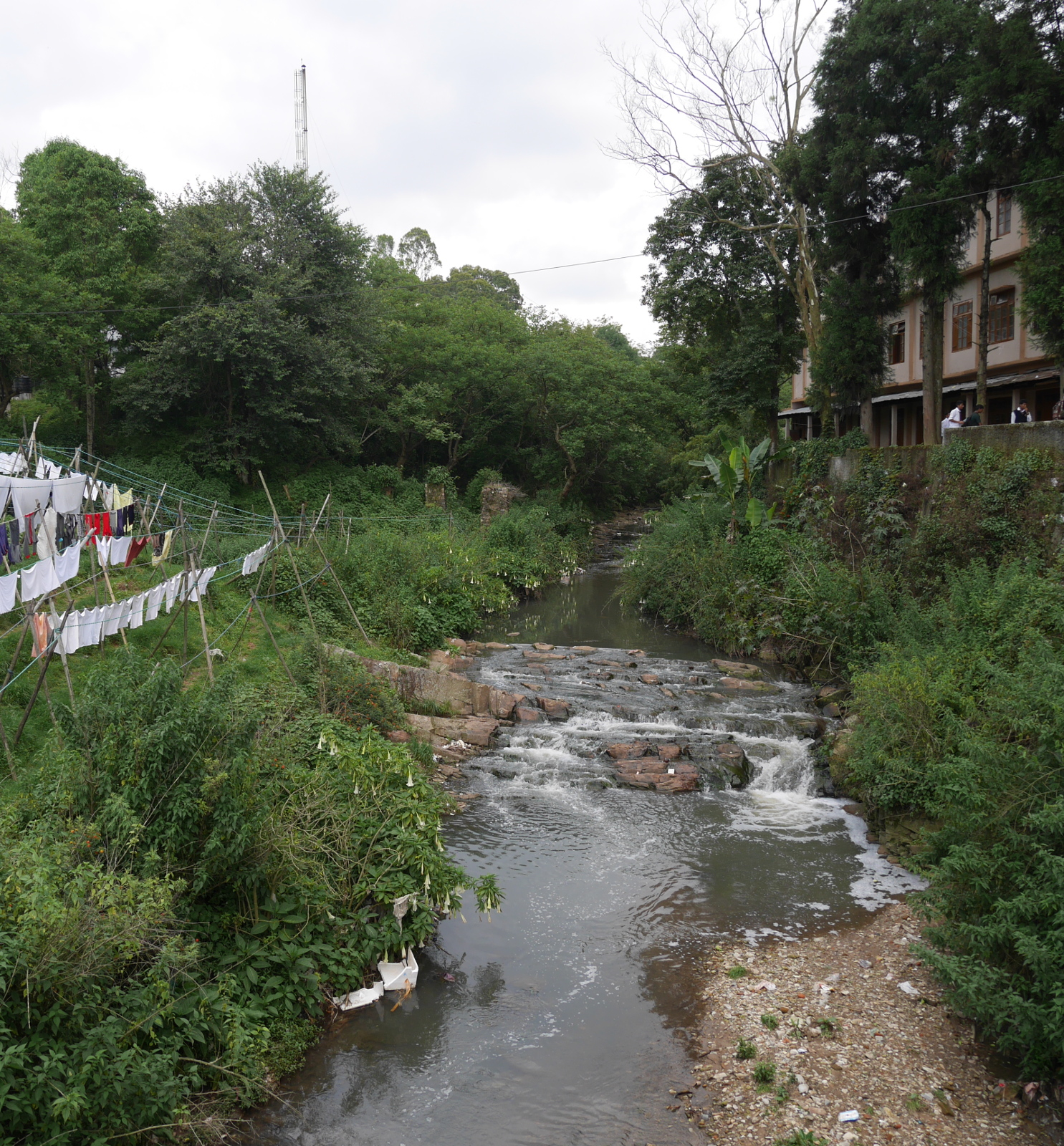
The Umshyrpi proper.
West of Shillong, the Umkhrah and Umshirpi join to form the Roro River, which subsequently flows into the Umiam River.
Both the Umkhrah and the Umshyrpi are quite polluted, and this pollution washes down into Umiam Lake. You might have noticed trash in some of my pictures of the rivers. What you can’t see in the pictures, but is there, is untreated sewage. The town’s hilly geography and patchwork of tribal lands have mitigated against the construction of a municipal sanitary sewer. Septic tanks collect sewage from homes and businesses, and municipal workers or contractors carry the waste away in trucks for treatment. But when tanks leak or overflow, the sewage finds its way into the Umshyrpi or Umkhrah Rivers, and thence into Umiam Lake.
Apart from Shillong, another significant source of pollution for Umiam Lake is the practice of jhum (slash-and-burn) cultivation, which removes vegetation cover on hillsides and thus leads to erosion.
A central government study of the lake in the early 1980s concluded that the water was of class C quality, which meant that it would need to be both conventionally treated and disinfected before being used as a potable water source.
Umiam Lake is a beautiful place, as it is ringed by misty, pine-forested hills. But knowing what I knew about the seemingly intractable problems of water pollution in the lake, I didn’t go into the lake much past my ankles.
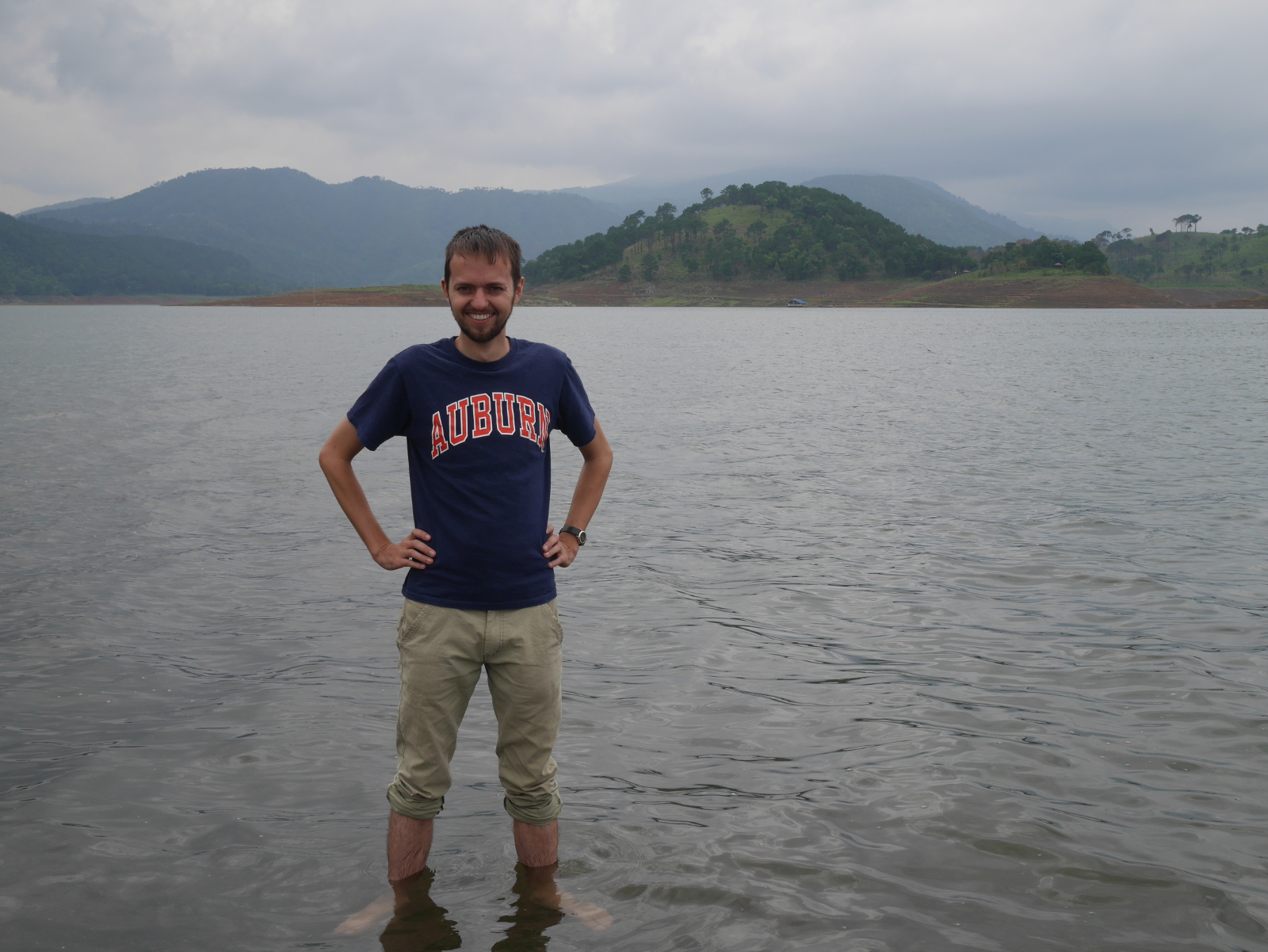
Your blogger standing in Umiam Lake.